

Posts made by author 'Lynnea Miller'
Subscribe and receive email notifications of new blog posts.
 RSS Feed
28
Hike Marion Lake to Marion Mountain to Marion Falls for a Wonderful Experience
Marion Falls is a Hidden Treasure
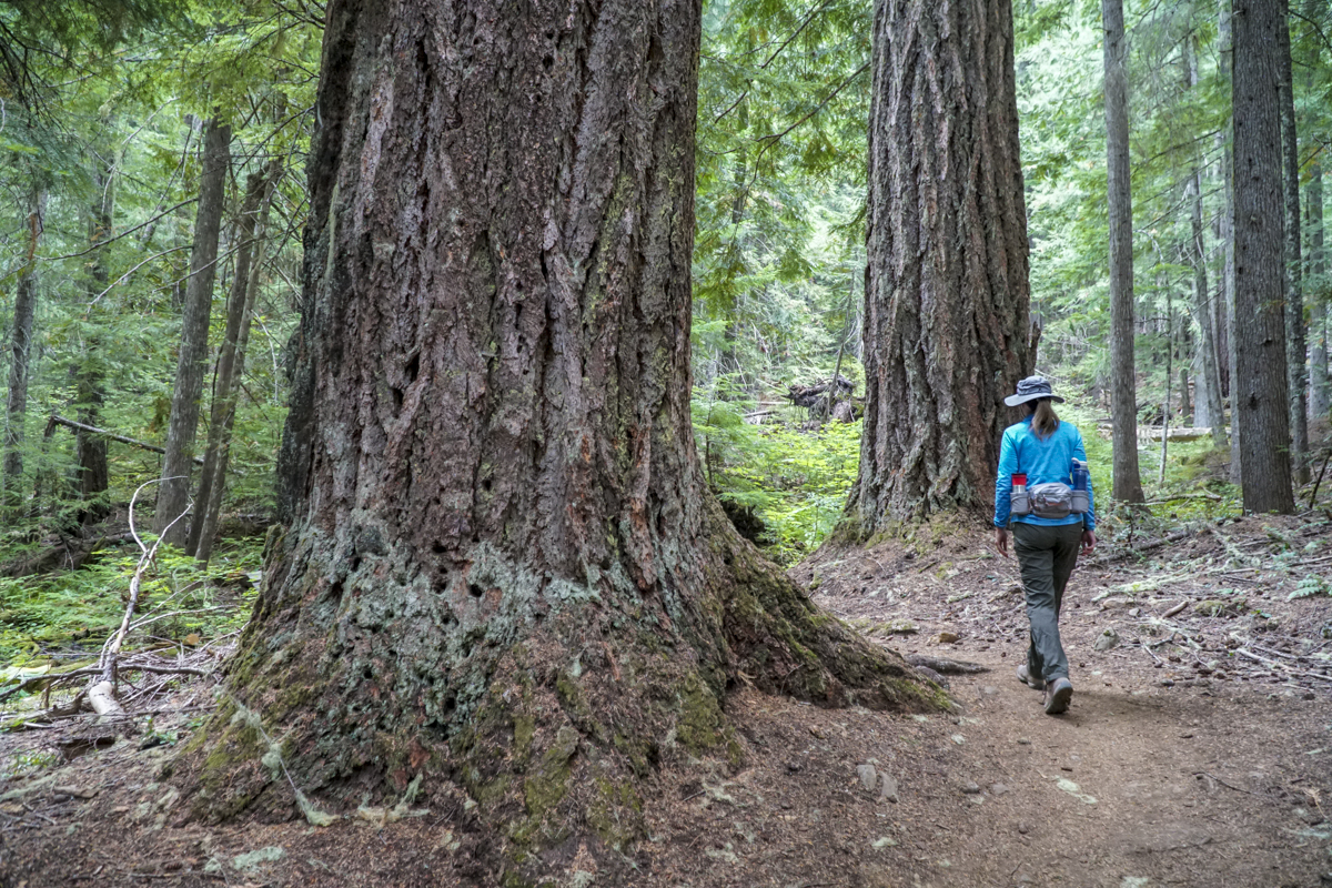
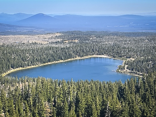
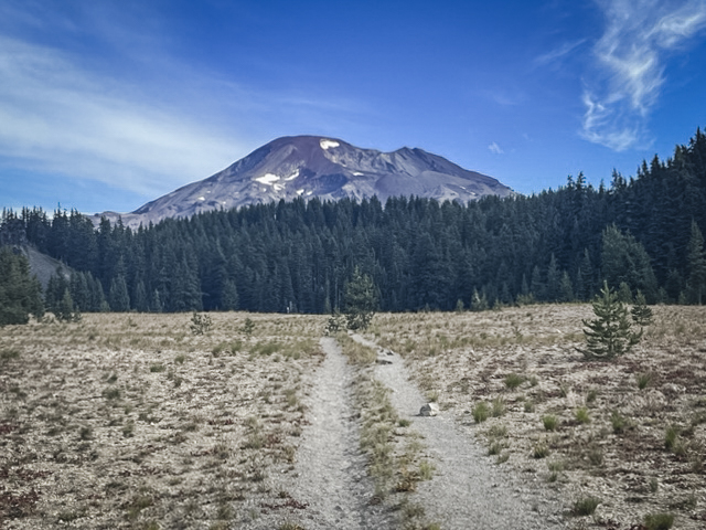
Marion Lake, on the west side of Santiam Pass, is a lovely lake that we had never seen during all the years we have lived in Central Oregon. The drive to the trailhead is longer than what we normally travel for our day hikes (roughly 1.5 hours), but the 10 mile gravel road off Hwy 22 to the trailhead is well maintained and easy to access. We hiked to Marion Lake on a late September Saturday in which the air quality in Bend was poor. Reports showed that the quality of the air west of Santiam would be better than in Bend, so we felt a hike in this area would be warranted and were able to obtain two passes.
 |
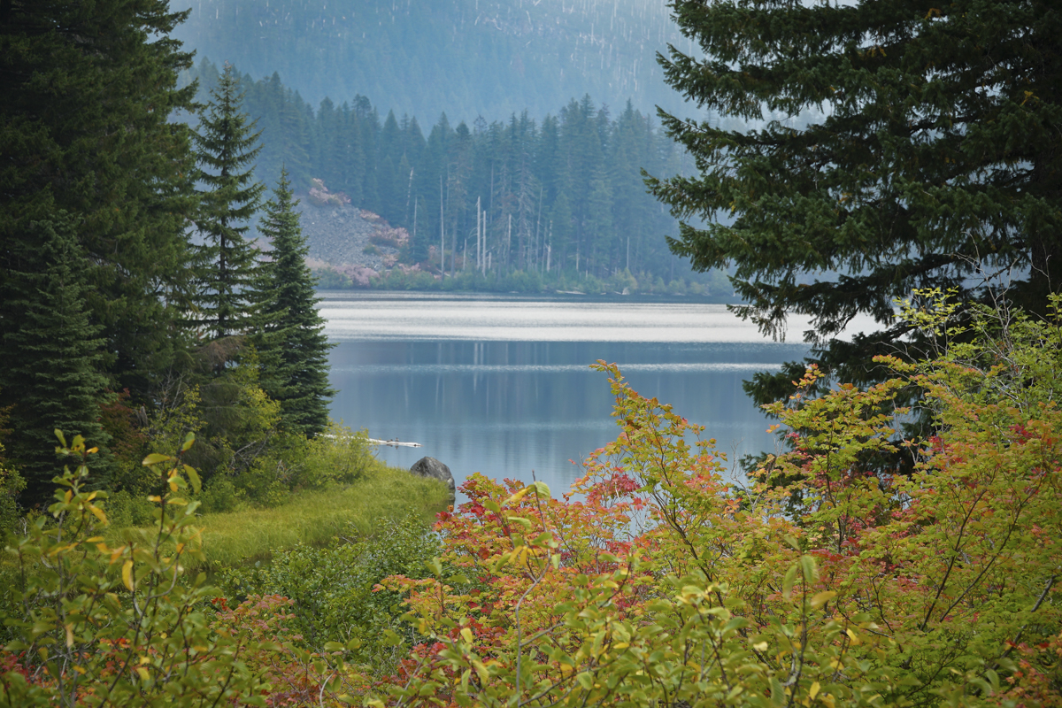 |
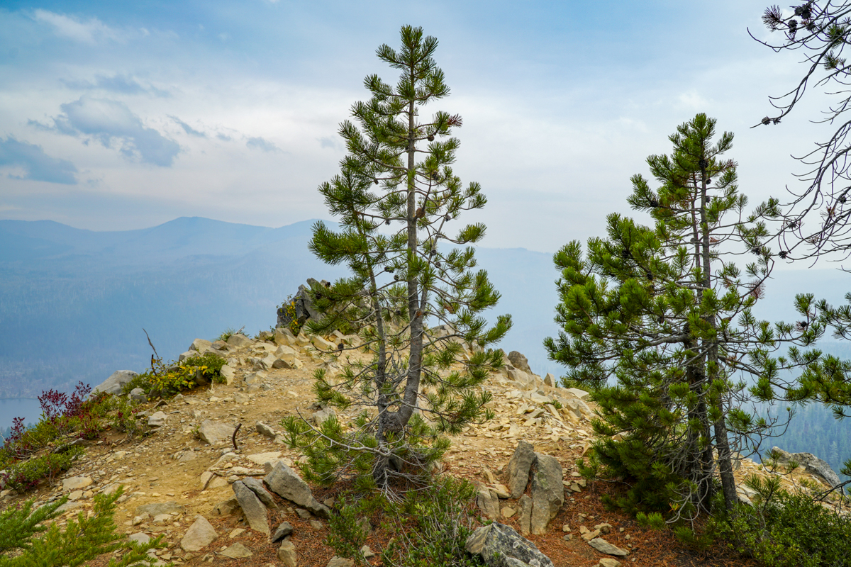
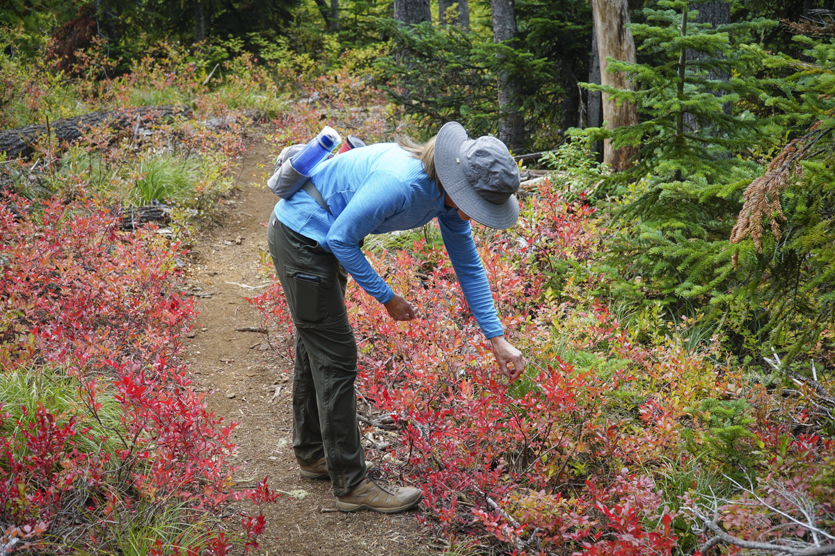
Once we arrived, the trail began with a fairly short hike through the woods to Ann Lake, a smaller body of water in which the lake's rocky outlet flowed under our trail, creating interesting sounds. Past this point, the wooded trail continued until we reached larger Marion Lake. The trail steepened here, passing through some burned forests until we eventually reached Marion Mountain. There should have been great views of Mt. Jefferson and Three Fingered Jack from the peak of this mountain, but they were shadowed through smoke. After a short break, we returned down the trail, sampling wild blueberries which were still hanging from their fall foliaged bushes. We knew there was a trail somewhere to Marion Falls in the area, but it wasn't until we consulted with a couple of hikers we met that we were directed to the non-maintained social trail which is not on current maps. We quickly discovered why the forest service does not want people to hike this direction; the path has places which are extremely steep, slippery, and can be dangerous. Careful hikers will find plenty of rocks, trees and roots to hold onto to travel up and down this path, however, to obtain great views of both Upper and Lower Marion Falls.
 |
 |
The entire hike was 12.24 miles with 2381 feet of elevation gain. We will return to this section of the Mt. Jefferson Wilderness soon. There are many trails which we need to explore!
22
Hike to No Name Lake Via Tam McArthur Rim
Hike Tam McArthur Rim to Broken Top For a Different Approach to No Name Lake
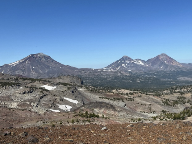
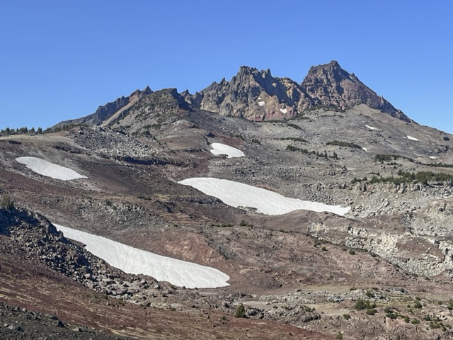
Each year we hike to Broken Top from different trailheads, often arriving at our final destination at No Name Lake, the beautiful glacial aqua blue lake located on the eastern edge of the mountain. One of our favorite hikes includes first a trek to Tam McArthur Rim overlooking Three Creeks Lake outside of Sisters which in itself can be the destination for many. For us, this extended hike passes Tam McArthur Rim on the well marked but "not maintained" trail to Broken Hand and then to the rim overlooking No Name Lake. The total trip for us includes a side trip north of Broken Hand into the safer, but longer path around Broken Hand and then up to the rim. This hike exceeds 10 miles and 2000 feet of elevation gain, but is well worth the trip for the beauty of close views of all Three Sisters and Broken Top. At one point on the hike, views from Mt. Bachelor to Mt Hood are visible - 9 total Cascade Peaks.
 |
 |
 |
 |
5
Wickiup Plains in the Three Sisters Wilderness Offers Unexpected Surprises
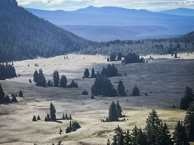
We have hiked Wickiup Plains in the past, reaching it after first traveling to Sisters Mirror Lake. Another time we hiked through it on our way to Moraine Lake, a wonderful destination or pass through for those hiking to the top of South Sister. Last Saturday we had a break from the smokey air resulting from several forest fires and we capitalized on hiking to Wickiup Plains once again, this time with new plans. These included climbing two hills overlooking Wickiup Plains - Le Conte Crater and The Wife.
 |
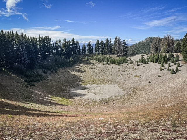 |
Wickiup Plain is mostly a cinder plateau through which the Pacific Crest Trail passes. However, there are fabulous views of the western flanks of South Sister and Broken Top from the plain that many never see. The trip up to the top of Le Conte Crater had a social trail we found which is not on any map and was worth the hike.
 |
 |
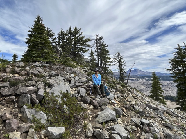
The Wife, however, was a difference experience. Many have heard of The Three Sisters and Mt Bachelor, four of the well recognized Cascade Mountain Peaks in Oregon. But besides the Sisters (also named Faith, Hope and Charity), there is Little Brother, The Husband and The Wife. Little Brother is part of the Three Sisters, its flank abutting Middle and North Sister. However, The Husband and The Wife stand alone without much recognition. The Wife is next to the Wickiup Plains and after coming down from Le Conte Crater, we trekked across the plains to The Wife. Rising over 7000 feet above sea level, The Wife is still drawfed by South Sister, which is the third highest peak in Oregon at over 10,300 feet. But having hiked both now, I can honestly say that the steepness of The Wife felt greater than what we experienced on South Sister. One review said the last 1/2 mile to the top of The Wife was at a 65 degree grade. But unlike South Sister, this grade is on small pumice stones in which tufts of fescue and other vegetation live. South Sister is nothing but pumice rocks and scree at the top. There was no trail to the top of The Wife whereas there is a clearly defined path to the top of South Sister. But the hike up The Wife was far shorter than that to summit South Sister.
 |
 |
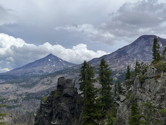
Despite the steepness of the hike up to the the peak of The Wife, the slopes to the north and west of The Wife are dangerously steep and we were careful at the top to avoid getting too close. However, the views were amazing. The Husband was to the north and South and Middle Sister were to the northeast. The air was clear despite recent rain, which probably helped immensely with our forest fires.
 |
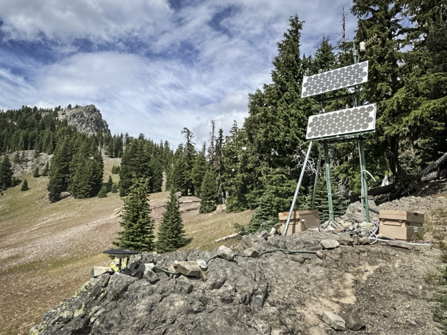 |
When we climbed down from the top of The Wife, we checked out what we think is a set up by the US Geological Survey to measure uplifts in the ground around South Sister. We have heard for years about the growing bulge near South Sister which is believed to be caused by build up of magna under the earth. We think the machinery we found is part of what is used to measure this. Hopefully we won't have another Mt. St. Helens in the near future!
29
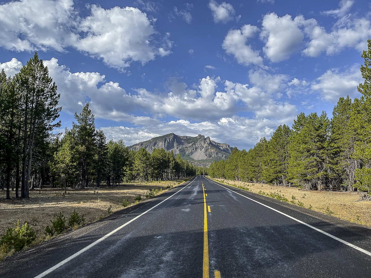
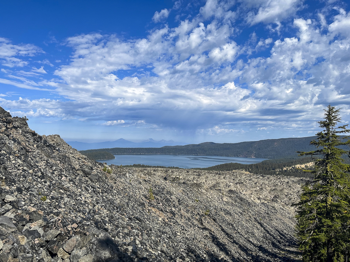
Crater Rim Trail at Newberry National Volcanic Monument Worth the Trip
Crater Rim Trail Lightly Traveled
Newberry Crater, including Paulina Peak and Paulina Falls, are often our go-to hikes when the weather doesn't cooperate in exploring the Cascades. At a lower elevation, we can often hike this area well into early winter when snow stops our adventures in the higher mountain regions. And its location, between Bend and La Pine, is an easy drive from home.
Last Saturday, we ventured into Newberry Crater to avoid the choking smoke much of Central Oregon has been experiencing from the Bedrock fire and now Lookout and Petes Lake fires as well. We were fortunate that the air stayed relatively clear during our day there and we could enjoy a great hike.
 We found a hike we had never done before last Saturday. All Trails named it "Lost Lake to Crater Rim Trail" and it was a loop. The suggestion was to park at the Obsidian Flow parking lot, but we drove further down the road to an access point off the main road about a mile past.
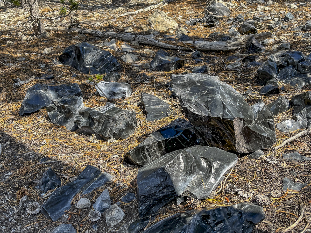
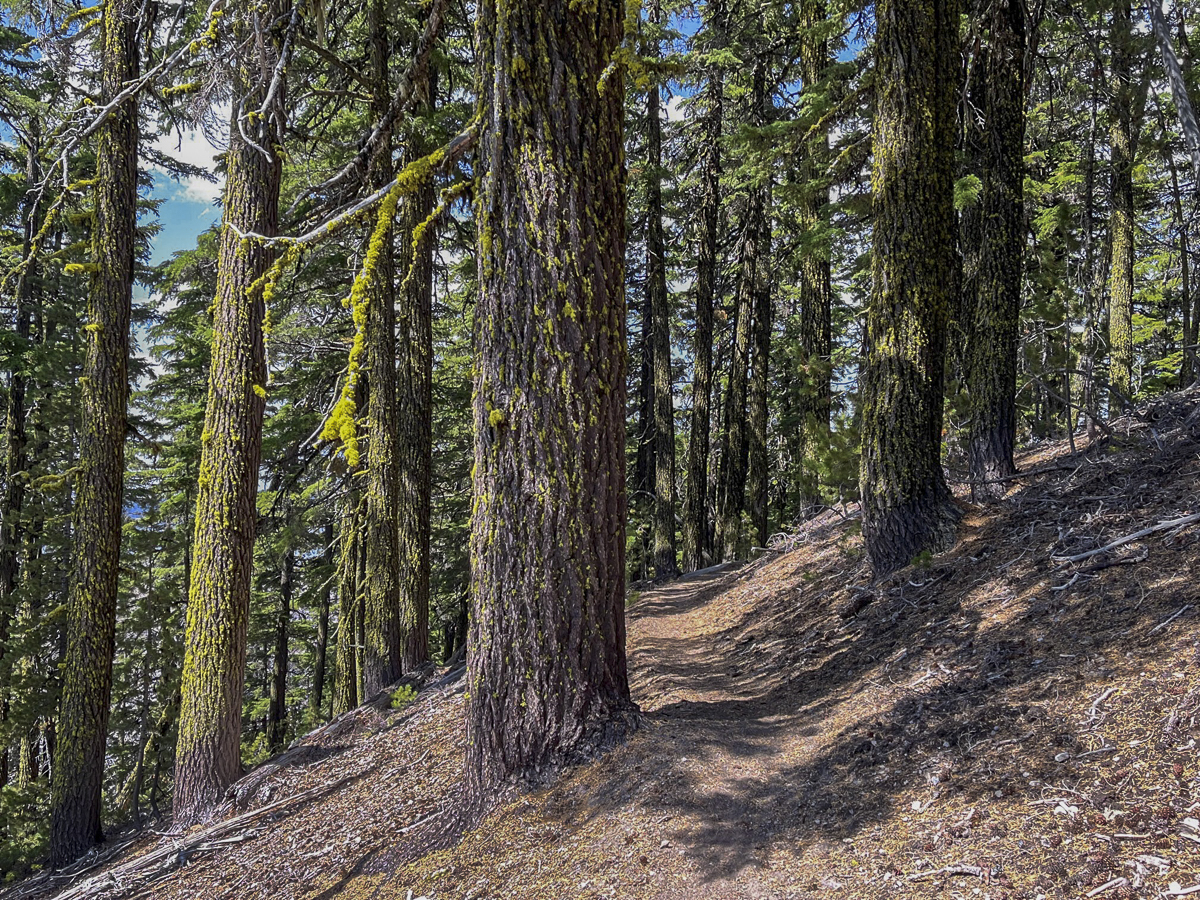
Our initial hike was through a lodgepole pine forest, but as we got further away from the road, we began to gain elevation and the trail got closer to the obsidian flow. We saw larger obsidian stones on each side of the trail as the hike got gradually steeper.
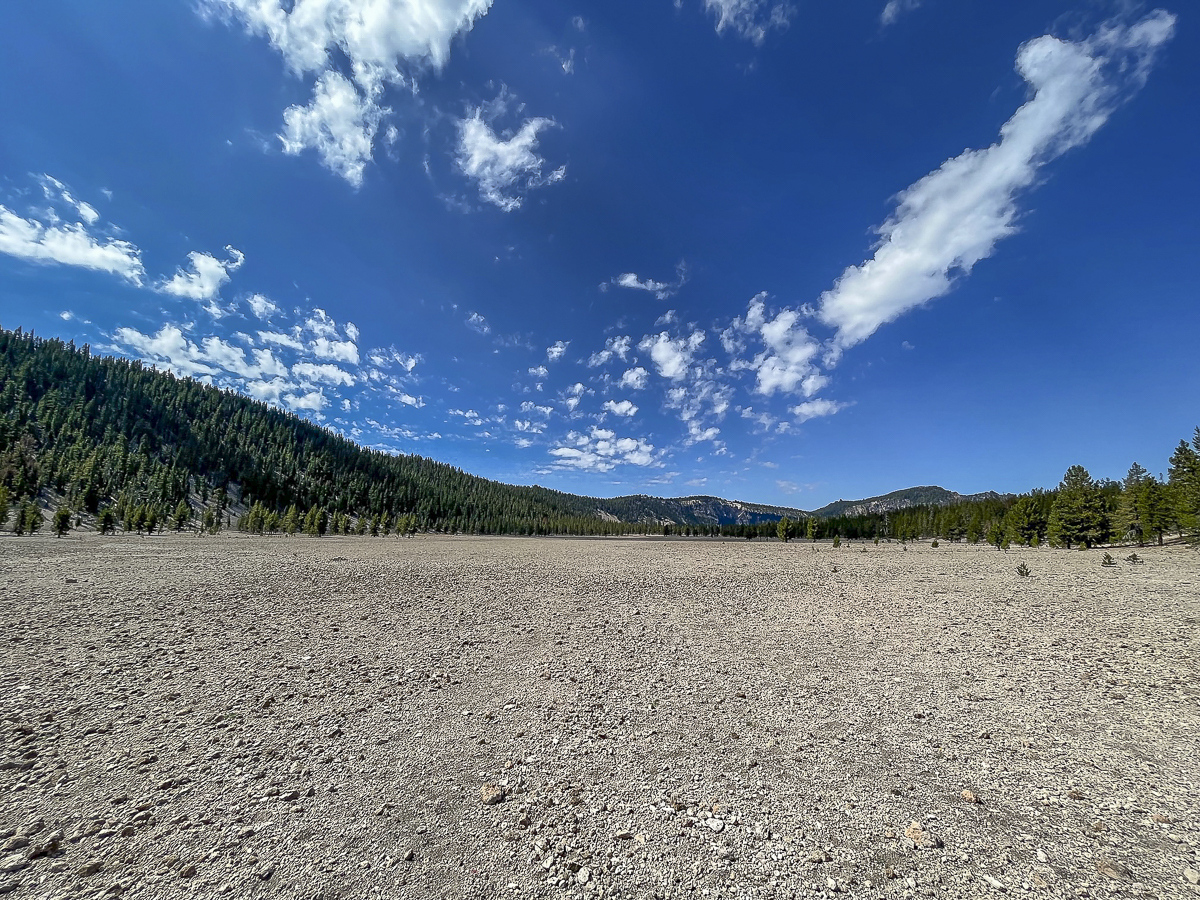
Eventually we reached the Crater Rim Trail. This trail circles Newberry Crater fully and is over 20 miles in length. We didn't want to take this hike today, but rather followed the route we downloaded. This involved a section of Crater Rim, and then a loop which dropped into a canyon that came up by Pumice Flat and rejoined our original trail. This seemed a bit short for us, so we went back up the loop and then hiked toward Paulina Peak, not fully reaching it but found a terrific lunch spot to enjoy the views of Paulina Lake. We then returned back the way we came. The entire hike was just over 13 miles with 2350 feet of elevation gain. We only saw 4 people during the entire hike - all of them riding mountain bikes.
 |
 |
 |
 |
16
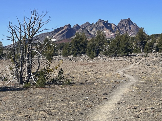
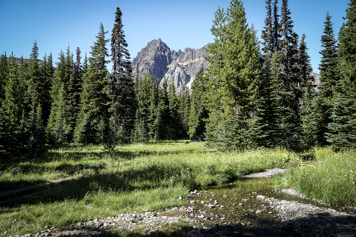
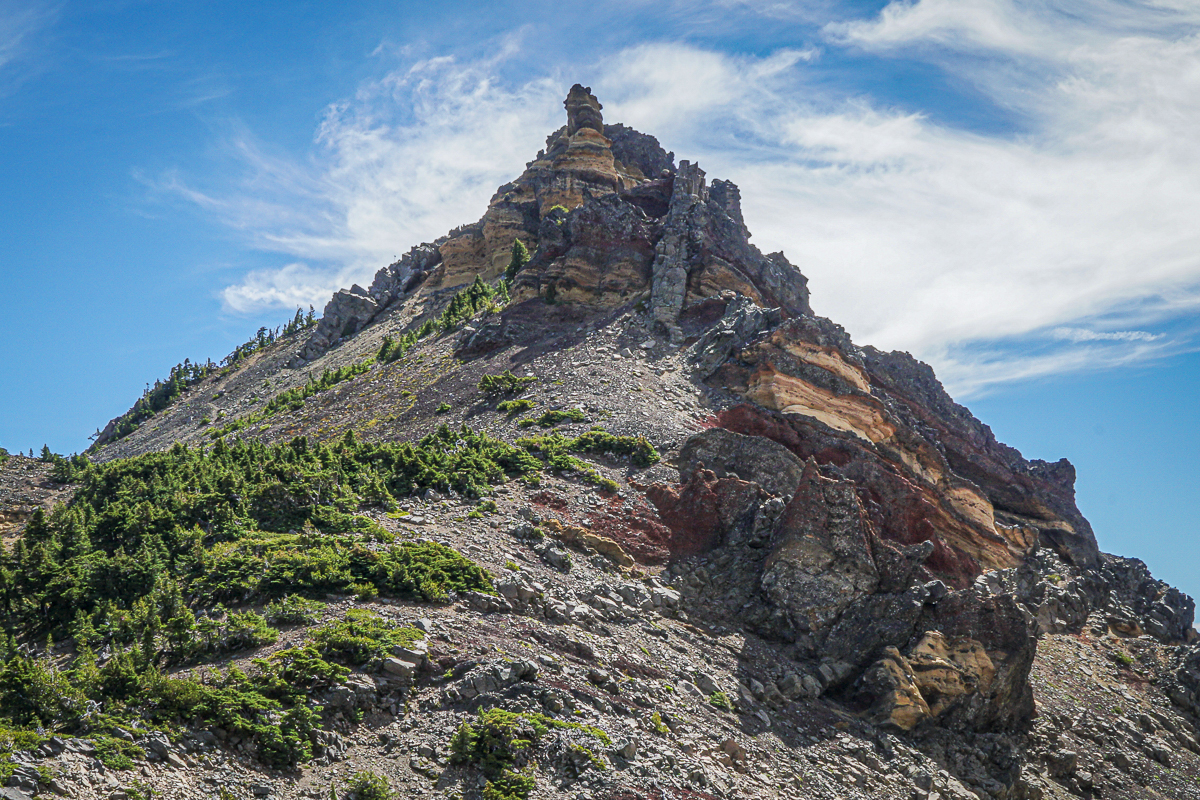
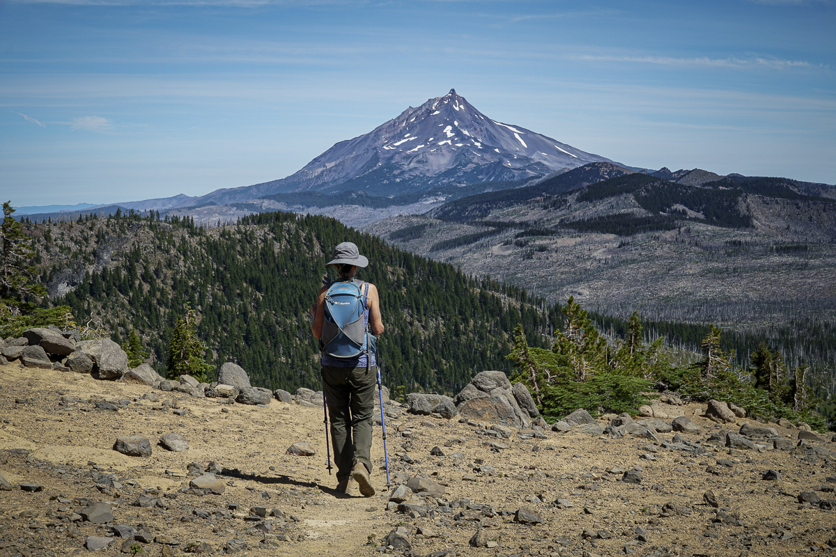
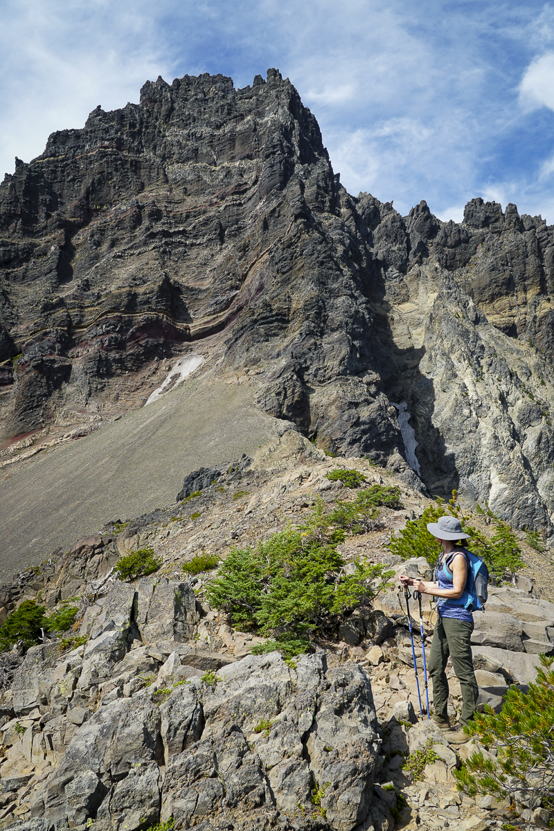
Three Fingered Jack Hike From Jack Lake Trailhead a Great Mid Summer Trek
We hike Three Fingered Jack yearly and always enjoy our experience. Our 2023 hike was no exception and the air was clear, a challenge this summer with the smoke from the Bedrock fire near Eugene coming and going for weeks.
The Canyon Meadow/Three Fingered Jack hike is one of our less strenuous summer hikes, the entire route taking less than 8 miles with roughly 1700 feet of elevation gain. Traveling through the forest recovering from the 2003 B&B fire, it is nice to see the growth of new vegetation and young trees, and it was easy to sample huckleberries growing along the path. Once you enter unburned forest, it isn't far until hikers reach Canyon Meadow with its green grass, wildflowers, and views of Three Fingered Jack. The "unmaintained" spur path to the mountain had a number of fallen trees to traverse, but past that it was easy to reach the base of the moraine which holds the blue glacial lake.
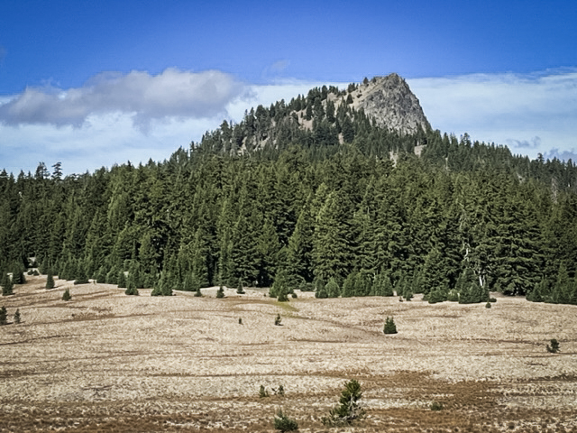
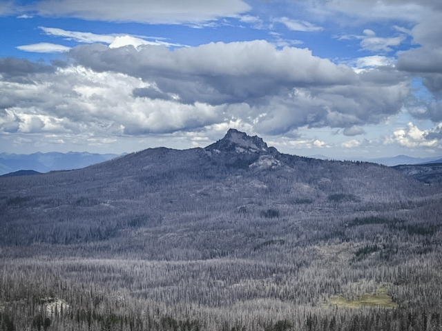
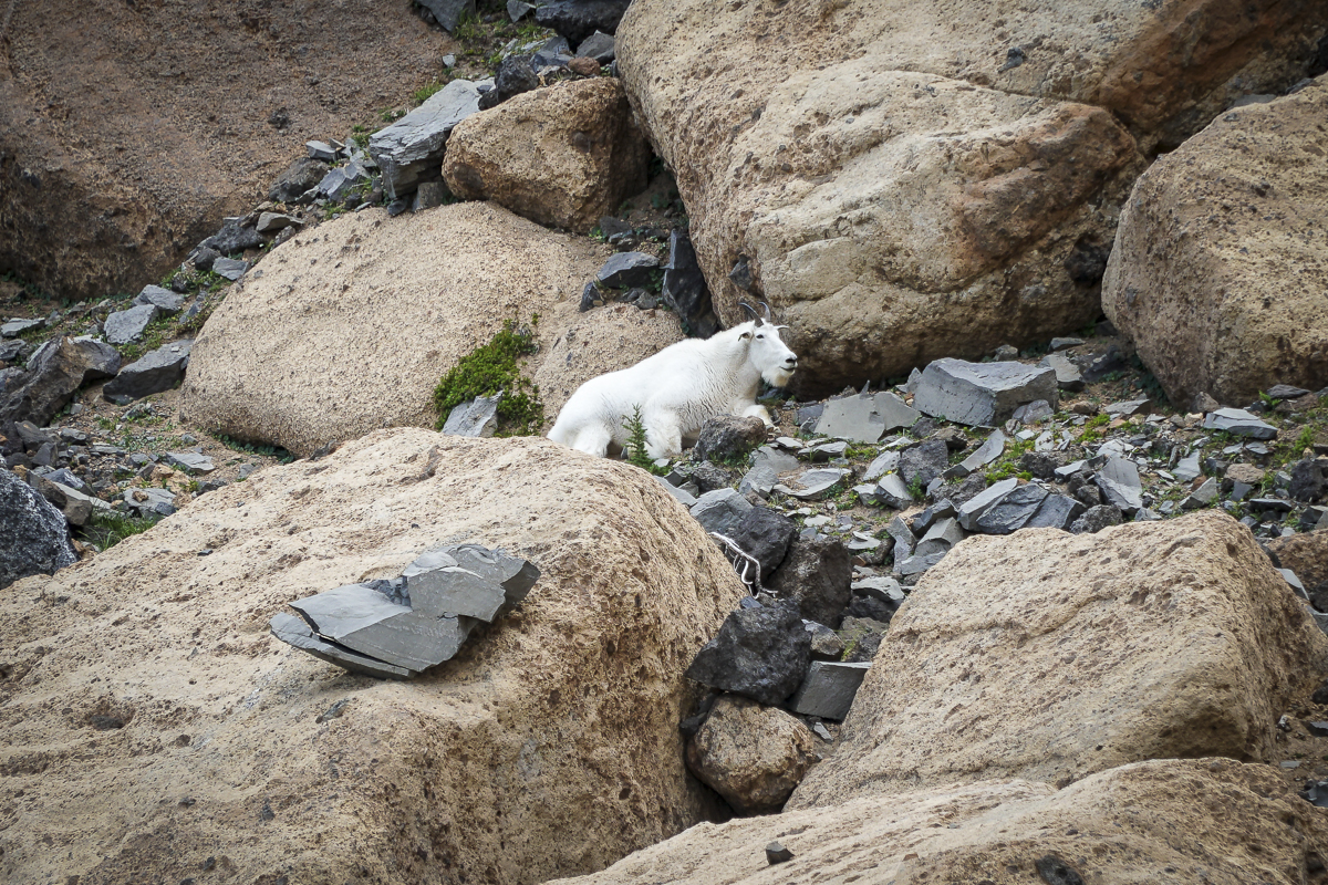
It is harder to scramble up the loose rock of the moraine (going down you have to be careful), but we always do this and reach the saddle between Three Fingered Jack and a nearby peak which we have nicknamed "Dragon Mountain". From there, stunning views of the Three Sisters, Broken Top and Mt Bachelor can be seen. Looking the other way, views of Mt Jefferson can't be missed. During this trip, we also saw a nearby mountain goat; these goats were reintroduced to the Mt. Jefferson Wilderness around Three Fingered Jack in 2010 and have grown in number.
 |
 |
 |
 |
Privacy Policy / DMCA Notice / ADA Accessibility