

Posts from August 29th, 2023
Subscribe and receive email notifications of new blog posts.
 RSS Feed
29
Crater Rim Trail at Newberry National Volcanic Monument Worth the Trip
Crater Rim Trail Lightly Traveled
Newberry Crater, including Paulina Peak and Paulina Falls, are often our go-to hikes when the weather doesn't cooperate in exploring the Cascades. At a lower elevation, we can often hike this area well into early winter when snow stops our adventures in the higher mountain regions. And its location, between Bend and La Pine, is an easy drive from home.
Last Saturday, we ventured into Newberry Crater to avoid the choking smoke much of Central Oregon has been experiencing from the Bedrock fire and now Lookout and Petes Lake fires as well. We were fortunate that the air stayed relatively clear during our day there and we could enjoy a great hike.
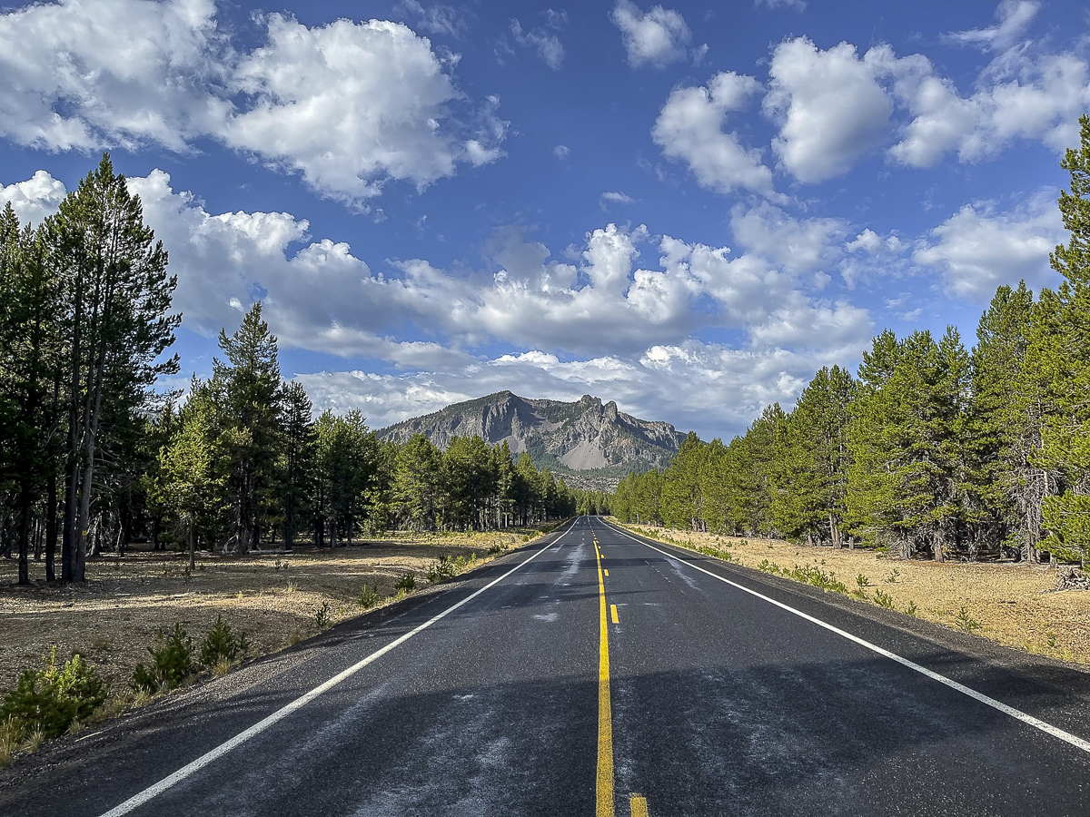 We found a hike we had never done before last Saturday. All Trails named it "Lost Lake to Crater Rim Trail" and it was a loop. The suggestion was to park at the Obsidian Flow parking lot, but we drove further down the road to an access point off the main road about a mile past.
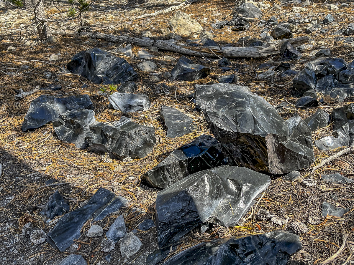
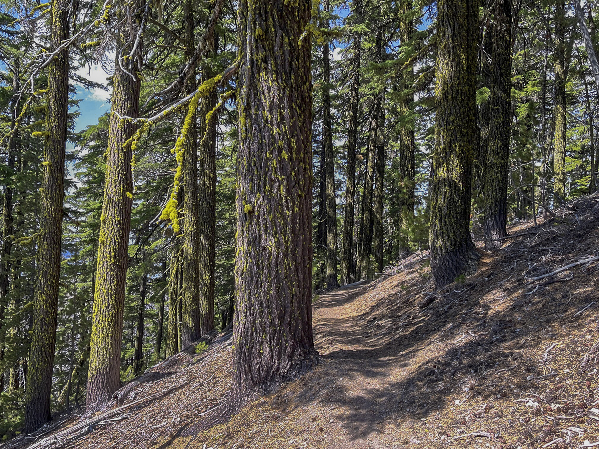
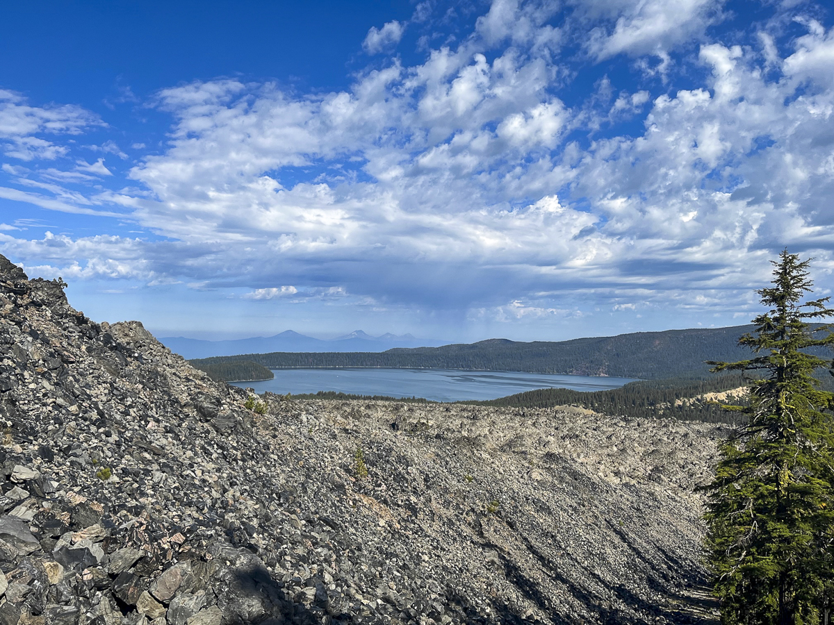
Our initial hike was through a lodgepole pine forest, but as we got further away from the road, we began to gain elevation and the trail got closer to the obsidian flow. We saw larger obsidian stones on each side of the trail as the hike got gradually steeper.
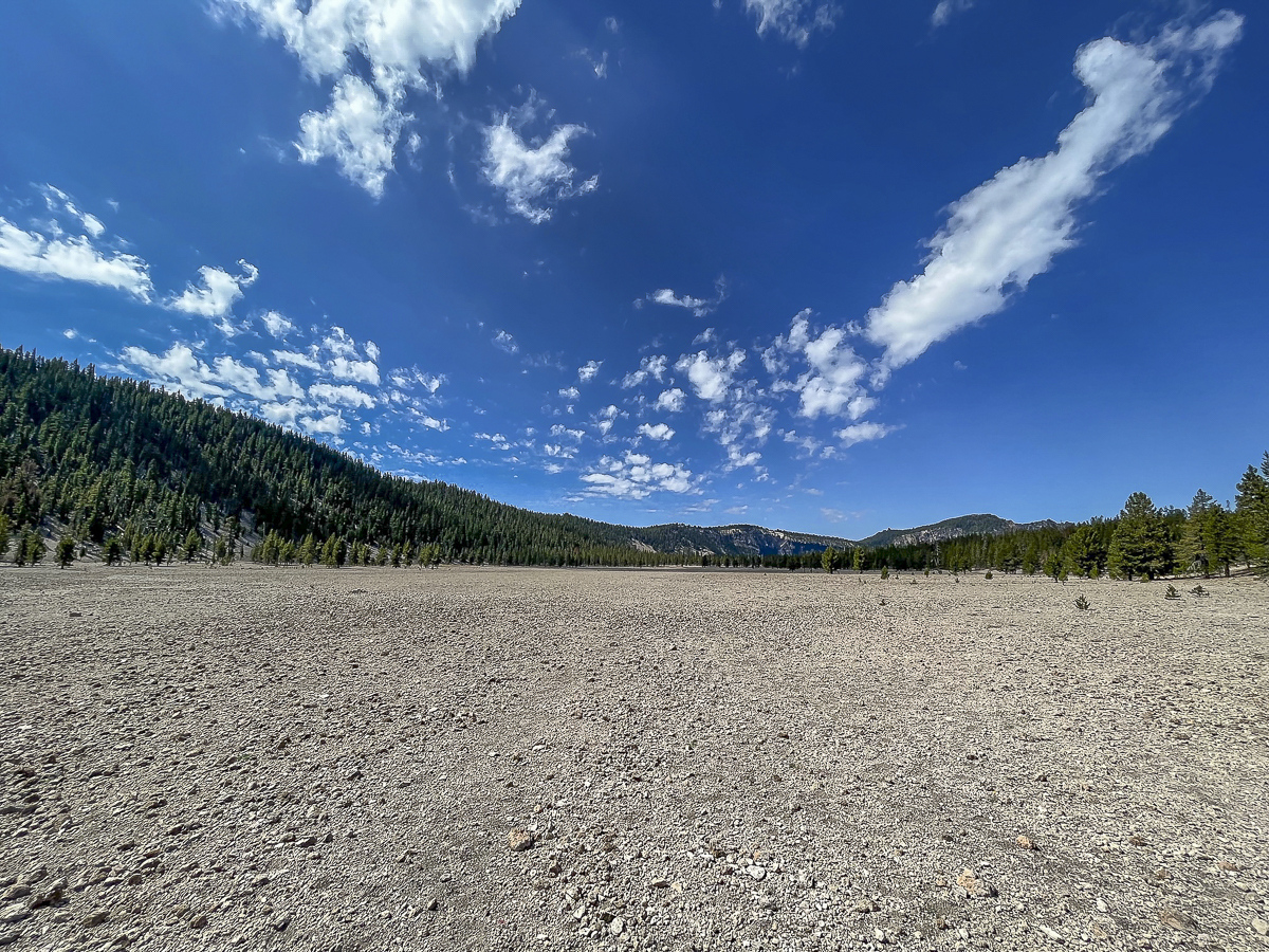
Eventually we reached the Crater Rim Trail. This trail circles Newberry Crater fully and is over 20 miles in length. We didn't want to take this hike today, but rather followed the route we downloaded. This involved a section of Crater Rim, and then a loop which dropped into a canyon that came up by Pumice Flat and rejoined our original trail. This seemed a bit short for us, so we went back up the loop and then hiked toward Paulina Peak, not fully reaching it but found a terrific lunch spot to enjoy the views of Paulina Lake. We then returned back the way we came. The entire hike was just over 13 miles with 2350 feet of elevation gain. We only saw 4 people during the entire hike - all of them riding mountain bikes.
 |
 |
 |
 |
Privacy Policy / DMCA Notice / ADA Accessibility