

Subscribe and receive email notifications of new blog posts.
 RSS Feed
21
Beyond Camp Lake: Hiking to the Dry Chambers Lakes Basin
Beyond Camp Lake: Hiking to the Dry Chambers Lakes Basin
On Saturday, September 19, we returned to the Pole Creek Trailhead for one of our longest hikes of the year: just under 17 miles with more than 2,600 feet of elevation gain. We have hiked to Camp Lake several times and have also followed the climbers' trail toward Hayden Glacier, but this time we continued beyond Camp Lake to explore new territory—the moraine between the two Chambers Lakes basins.
By the time we returned to the trailhead, the hike had given us beautiful mountain views, complete solitude at Camp Lake, a steep and occasionally sketchy climb above it, and one creek crossing that was very different in the afternoon than it had been that morning.
From Pole Creek Trailhead to Camp Lake
The hike begins at the Pole Creek Trailhead outside Sisters and travels for several miles through the burn scar left by the 2012 Pole Creek Fire. The landscape remains open and exposed, but new growth continues to fill in around the blackened trunks. North and Middle Sister appear through the trees as the trail gradually climbs toward the wilderness interior.
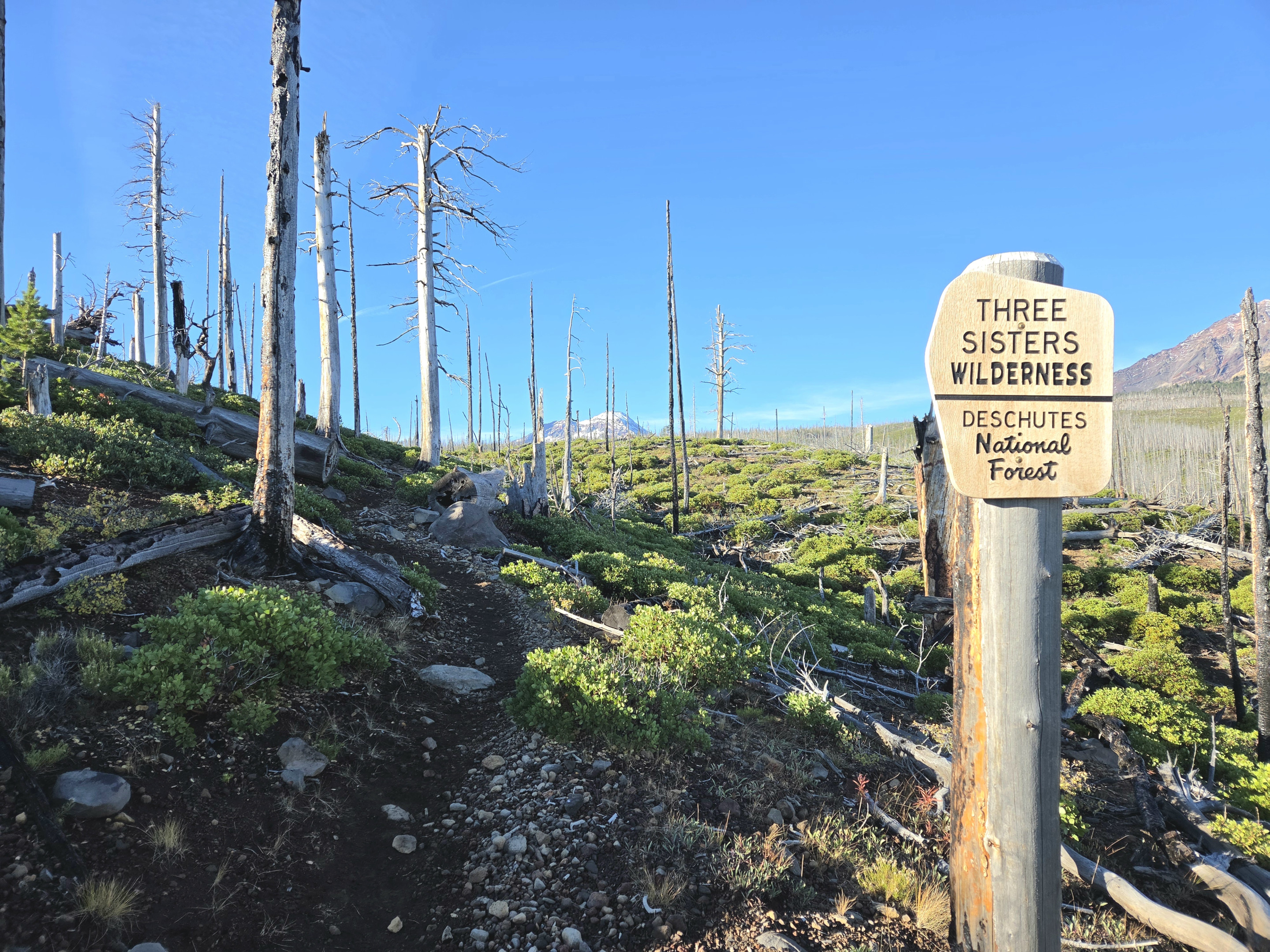
One of the most important points along the route is the crossing of the North Fork of Whychus Creek. In the morning, the water was slightly white from glacial sediment, but the flow was low enough that we could step across on rocks without much difficulty.
After the crossing, the trail climbs through healthier forest and eventually opens into increasingly alpine terrain. Mountain views become more dramatic with every mile, with North Sister, Middle Sister, Prouty Point and South Sister dominating the landscape.
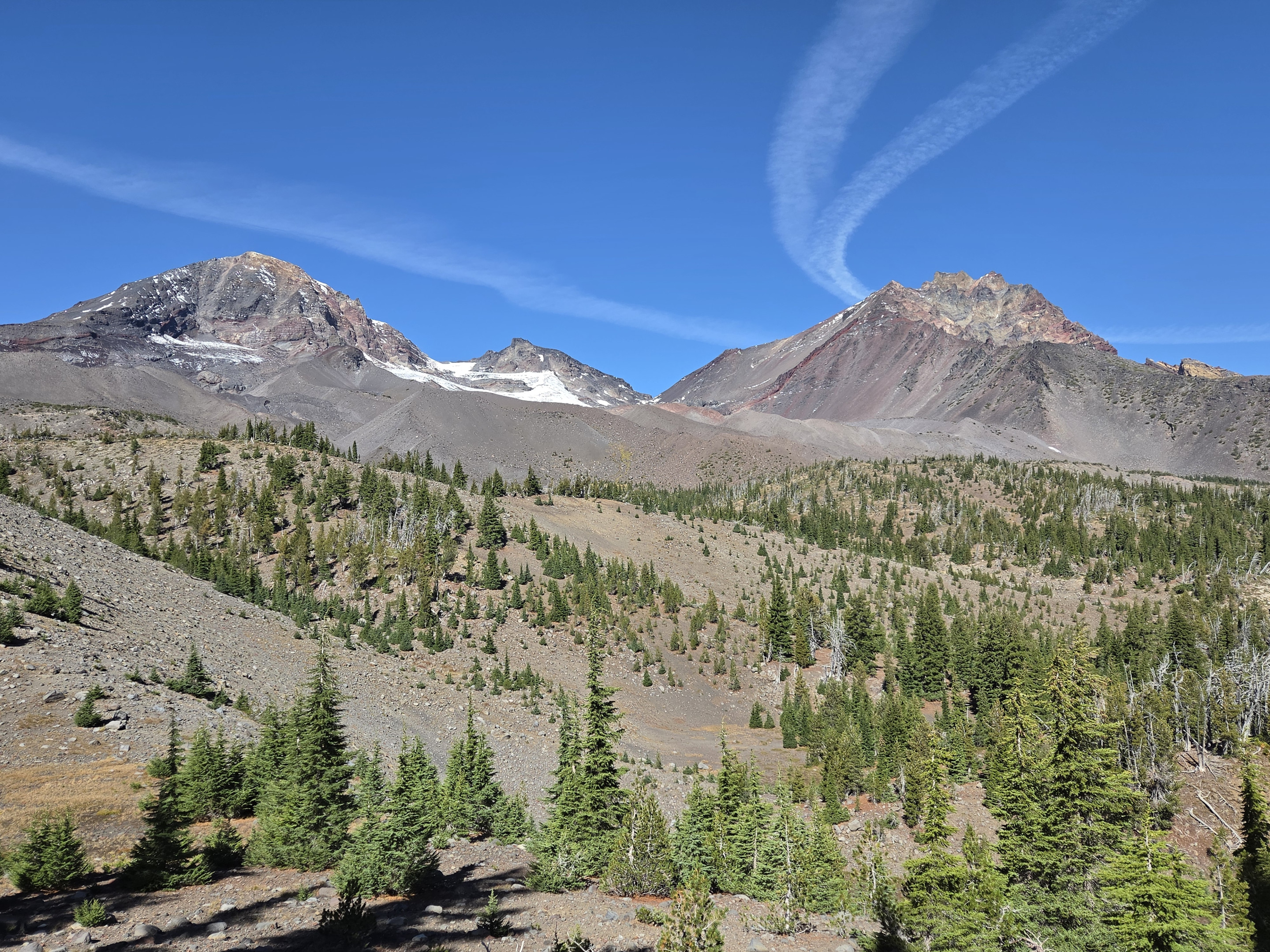
A Quiet September Morning at Camp Lake
It was a day when many climbers were summiting Middle and North Sister. We passed several of them on their way down later in the day, but while we were at Camp Lake, there was no sign of anyone else. We had the lake and its remarkable view of South Sister entirely to ourselves.
Camp Lake is always worth the long approach. South Sister rises directly behind the water, and on a calm day the mountain is reflected in the lake. Although we had been here before, the setting still felt remote and special—especially with no other hikers or campers around.
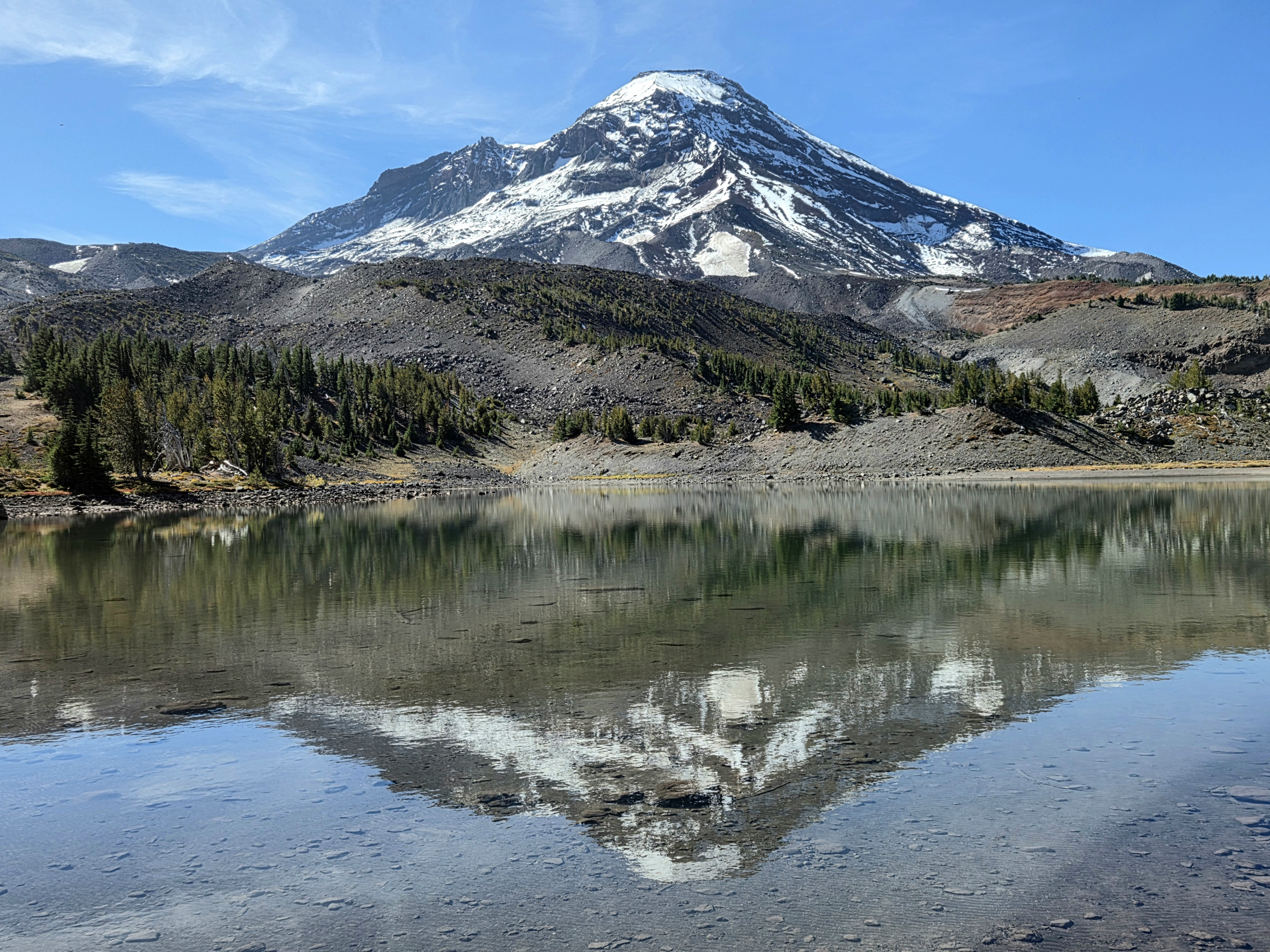
Our earlier Camp Lake hike ended here. On this trip, we decided to keep climbing toward Chambers Lakes.
Climbing Beyond Camp Lake
The trail above Camp Lake quickly became steeper, rougher and more exposed. Having never traveled to Chambers Lakes, we did not know exactly what to expect. The climb was doable, but sections crossed loose rock and narrow terrain where careful footing mattered. The higher we climbed, the more expansive the views became.
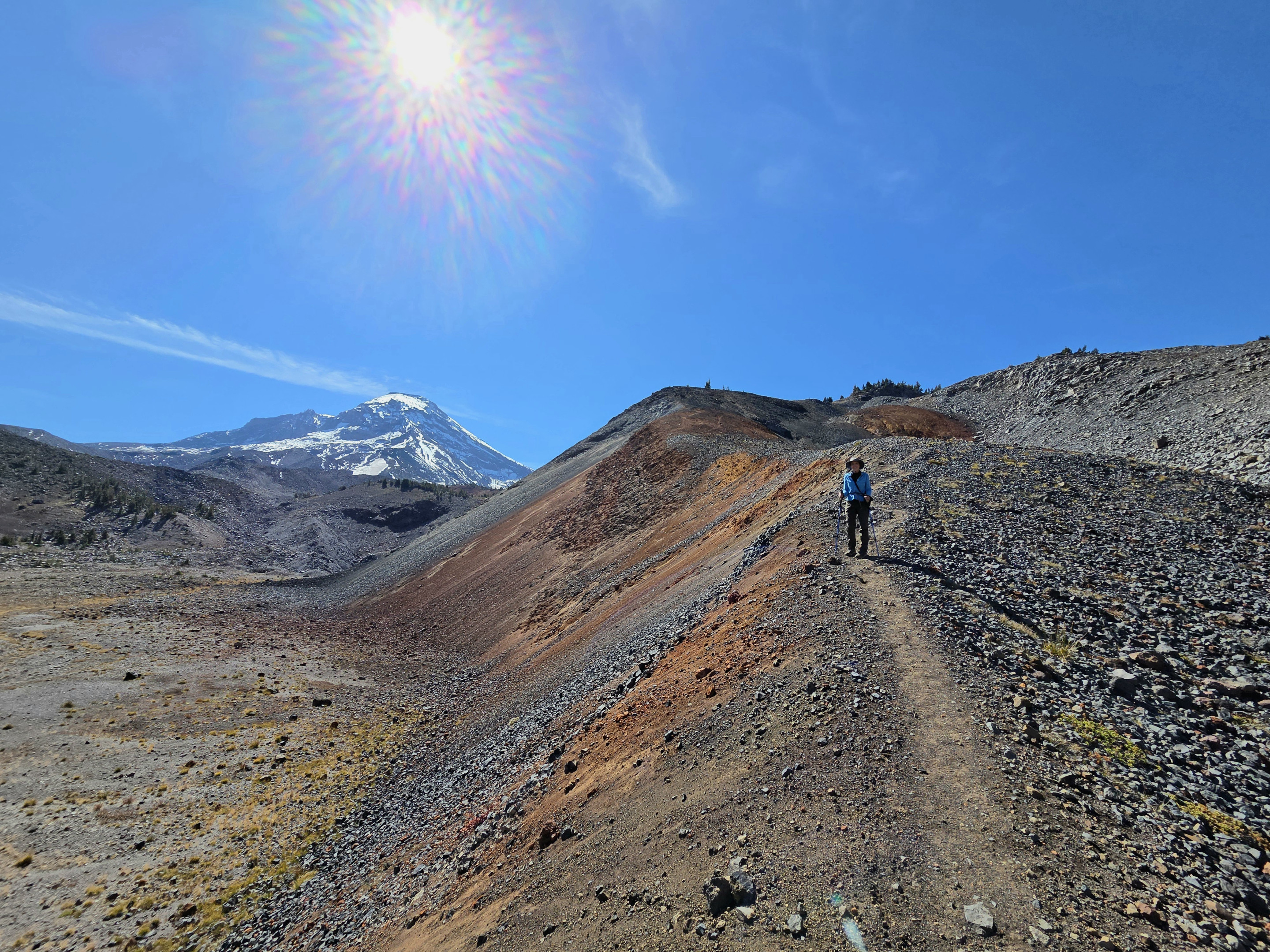
This part of the hike felt very different from the forested trail below. The landscape was wide open, windswept and volcanic, with bands of red, orange and gray rock across the slopes. Looking back, Camp Lake appeared far below us, tucked against the base of South Sister.
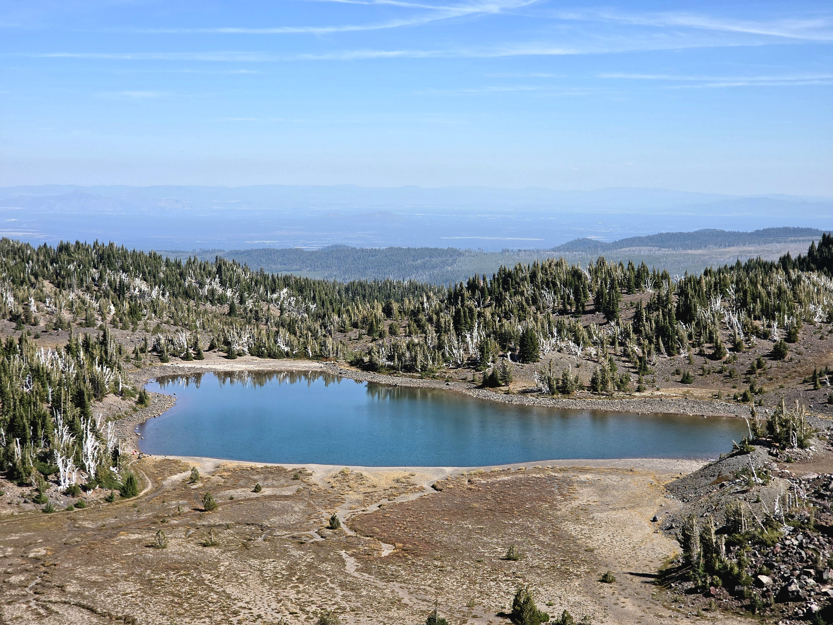
We continued to the moraine between the two Chambers Lakes basins. By mid-September, the basins were dry, leaving a stark landscape of loose volcanic rock beneath Middle Sister. It was not the blue-water destination we might have pictured from the name, but the barren terrain was fascinating and unlike anything along the lower portion of the hike.
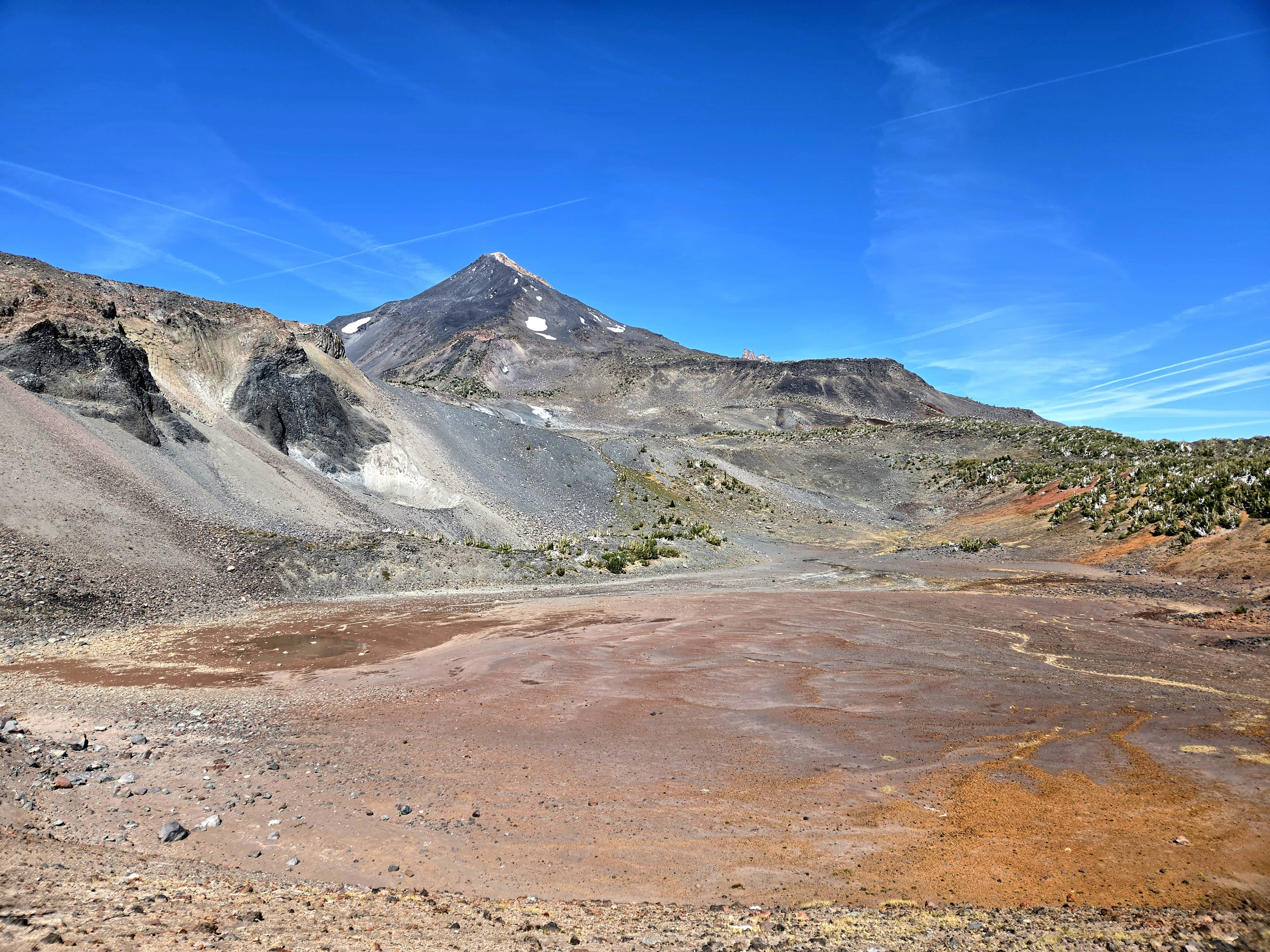
The descent required more care than the climb. Loose footing and steep sections are generally easier to manage while going up; coming down, a slip can happen quickly. We took our time until we were safely back at Camp Lake and on the more familiar trail toward Pole Creek.
A Very Different Creek Crossing on the Return
The biggest surprise came when we reached the North Fork of Whychus Creek late in the afternoon. The quiet, pale water we had crossed in the morning had changed completely. It appeared to be at least a foot higher and had turned dark brown.
We cannot say with certainty what caused such a dramatic change, but a warm day can increase afternoon glacial and snowmelt runoff, carrying additional sediment downstream. Whatever the reason that day, the rocks we had used in the morning were no longer a safe option.
We worked our way roughly a quarter-mile upstream before finding a place where we could jump across several rocks and reach the opposite bank. It was a strong reminder that a creek crossed easily in the morning may be an entirely different obstacle many hours later.
A Long but Memorable Day in the Three Sisters Wilderness
We finished with just under 17 miles and more than 2,600 feet of elevation gain. This is a demanding day hike, and continuing beyond Camp Lake adds steep, exposed terrain that requires good route judgment and careful footing. Hikers should also be prepared for changing creek conditions and should never assume the return crossing will look as it did earlier in the day.
We still have not summited Middle or North Sister, but we have now explored several of the routes beneath them. Our previous hikes along the climbers' trail toward Middle Sister and to Hayden Glacier offered a closer look at a different side of this rugged country. This time, the empty Camp Lake shoreline, the dry Chambers Lakes basins and the unexpectedly difficult creek crossing made the day memorable in an entirely new way.
Privacy Policy / DMCA Notice / ADA Accessibility


