

Subscribe and receive email notifications of new blog posts.
 RSS Feed
14
Hiking to Collier Glacier from Lava Camp: A Journey Across Oregon's Volcanic Landscape
Hiking to Collier Glacier from Lava Camp: A Journey Across Oregon's Volcanic Landscape
Distance: 14.63 miles out-and-back
Elevation Gain: 2,236 feet
Trailhead: Lava Camp Lake Trailhead – McKenzie Pass Scenic Highway (Hwy 242)
Difficulty: Difficult
Best Time: July through early October (depending on snow)
Most hikes have one destination. This hike has about six. Beginning at Lava Camp on the historic McKenzie Pass Scenic Highway, the trail to Collier Glacier feels less like one continuous hike and more like walking through the geological story of Central Oregon. Nearly every couple of miles the landscape changes completely—from dense forests to lava flows, peaceful alpine lakes, colorful wildflower meadows, volcanic cinder cones, and finally the stark alpine world beneath the glaciers of North Sister. By the time we returned to the trailhead, our GPS showed 14.63 miles with 2,236 feet of elevation gain, but the distance hardly tells the story.
Through an Ancient Forest
The hike begins beneath towering mountain hemlock and fir trees after about a mile of hiking through burnt forest. Unlike many Cascade hikes that immediately begin climbing, this trail eases hikers into the wilderness. Soft forest paths wind through lava rock that has slowly disappeared beneath centuries of moss and soil. Soon enough, glimpses of volcanic peaks begin appearing between the trees, hinting at what lies ahead.
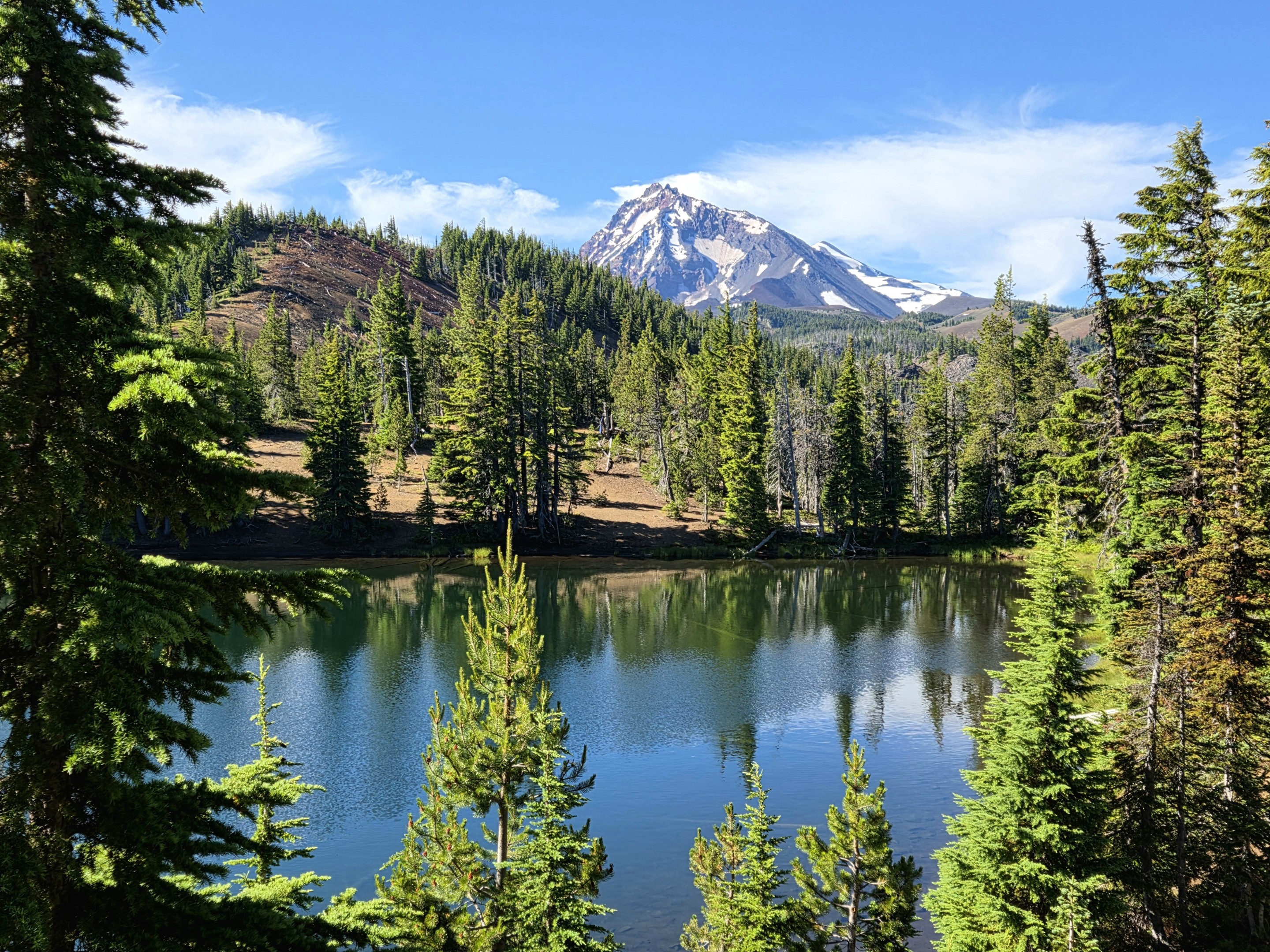
The first Matthieu Lake is one of the hidden gems along the hike.
Arriving at the Matthieu Lakes
One of the first major landmarks is the Matthieu Lakes area, a popular backpacking destination within the Three Sisters Wilderness. The first lake appears almost unexpectedly through the trees. Calm water reflects North Sister while surrounding evergreens frame one of the prettiest alpine scenes along the trail. Camping is carefully managed here to protect this fragile environment.
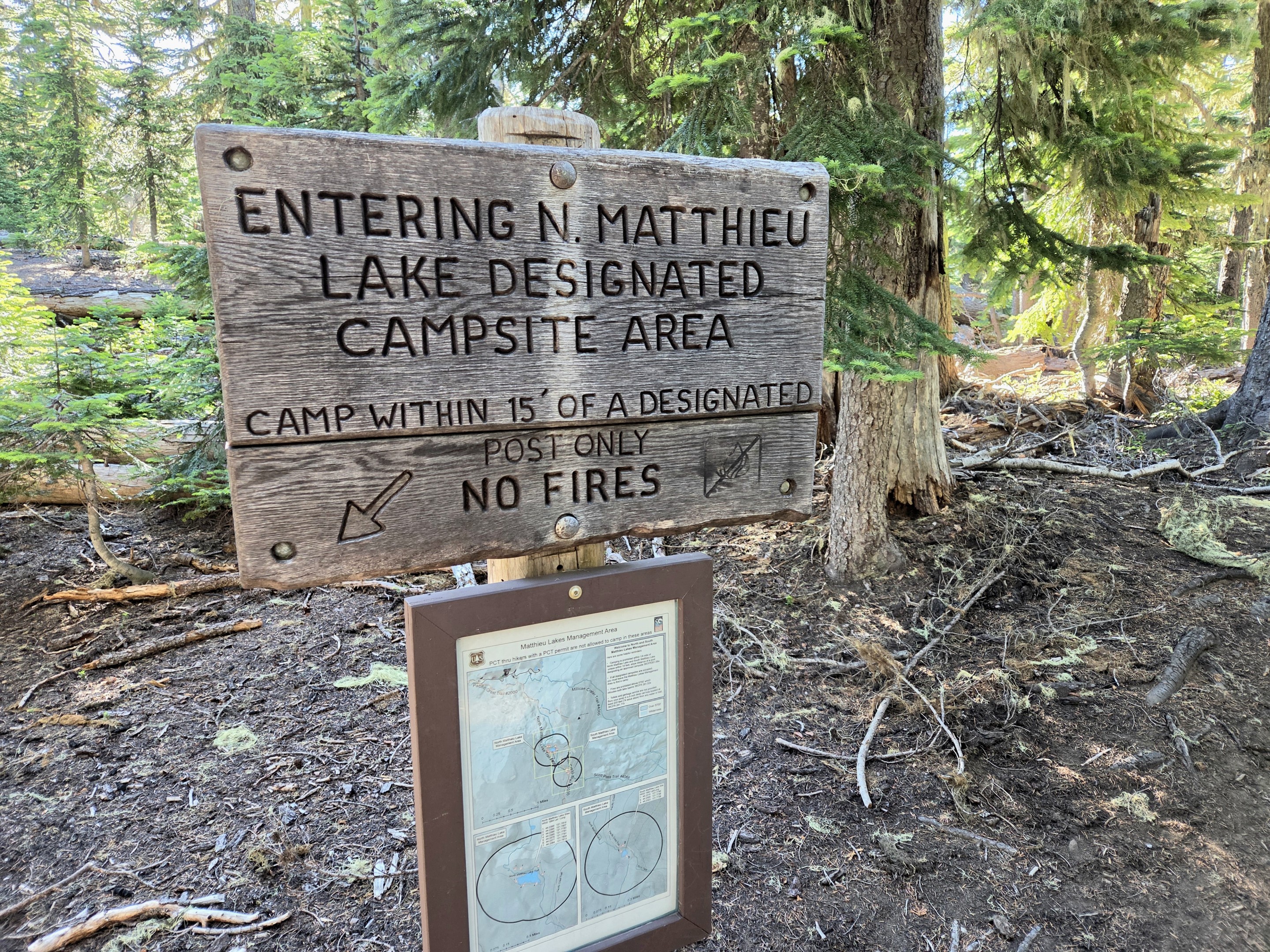
The Matthieu Lakes are designated camping areas to help preserve this heavily visited wilderness.
The Forest Suddenly Ends
Leaving the lakes behind, the scenery begins changing dramatically. The trail climbs onto broad volcanic slopes where lava rock replaces forest floor. Ancient lava flows and black volcanic soils remind hikers that these mountains are still geologically young. Bright clusters of paintbrush provide a striking contrast against the dark volcanic landscape.
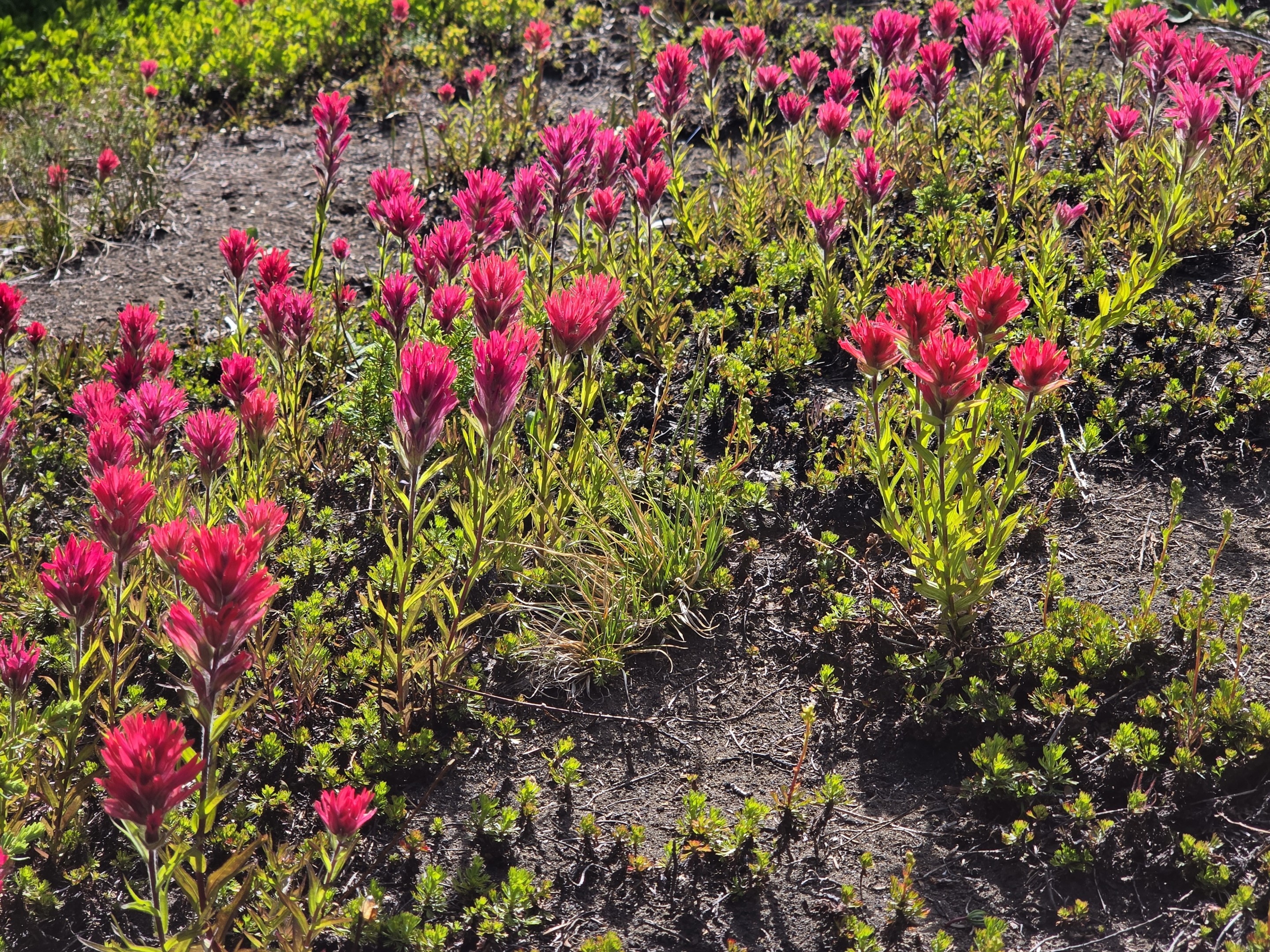
Brilliant paintbrush adds vivid color to the volcanic terrain.
A Detour to Yapoah Crater
One of the unexpected highlights of this hike is passing Yapoah Crater, a broad volcanic crater tucked into the rugged landscape between the Matthieu Lakes and Collier Glacier.Unlike the snow-covered peaks surrounding it, Yapoah Crater is a study in raw volcanic geology. Its steep walls of reddish cinders, dark lava rock, and loose volcanic ash reveal the forces that shaped this entire region thousands of years ago. Standing along its rim, it's easy to imagine the volcanic activity that once transformed these slopes. While many hikers focus on reaching Collier Glacier, Yapoah Crater is a reminder that this trail isn't simply about glaciers—it's about experiencing nearly every chapter of Central Oregon's volcanic history in a single day.
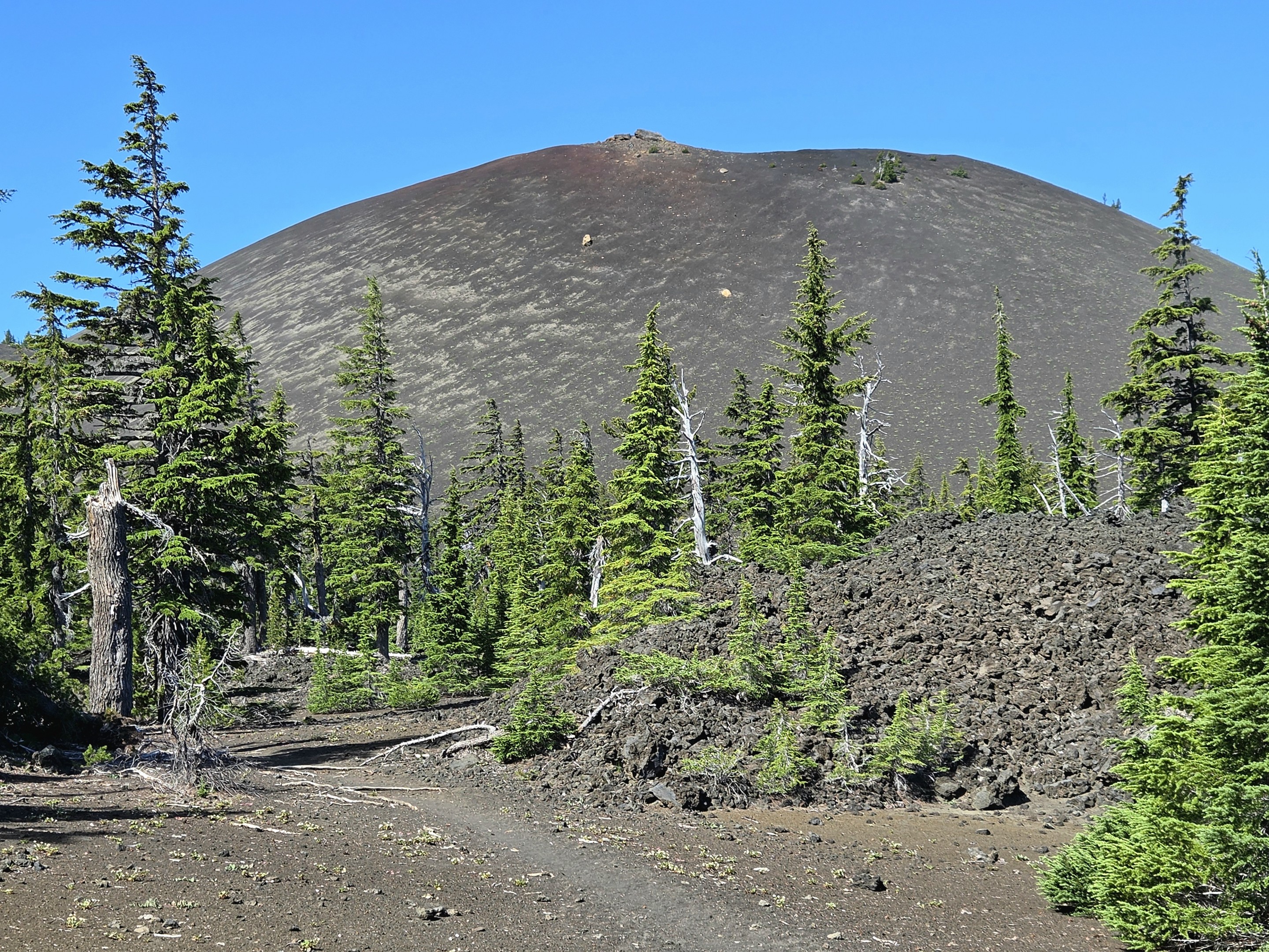
Yapoah Crater showcases the volcanic forces that built the Three Sisters region long before glaciers carved today's landscape.
One of the Best Viewpoints in Central Oregon
As the trail gains elevation, the forest falls away. Suddenly the Cascade skyline opens. From one overlook you can see:
- Belknap Crater
- Mount Washington
- Three Fingered Jack
- Mount Jefferson
- Mount Hood
Stretching across the horizon is nearly the entire spine of Oregon's Central Cascade Range. It is one of those viewpoints where everyone stops—not because the trail requires it, but because the scenery demands it.
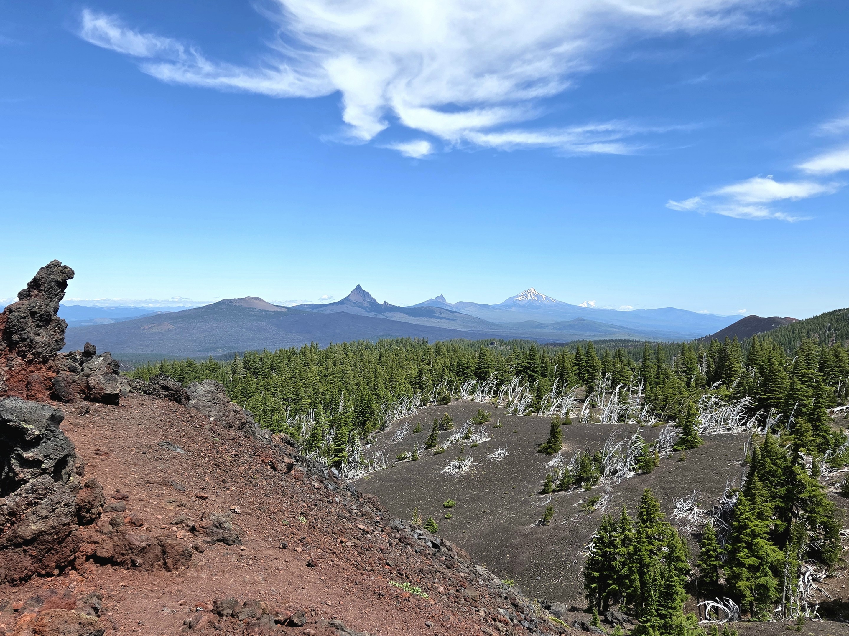
A remarkable panorama stretches from Belknap Crater to Mount Hood.
Walking Into Another World
Leaving Yapoah Crater behind, the trail crosses an expansive volcanic plateau where trees gradually disappear and loose cinders replace forest soil. The landscape becomes increasingly stark, shaped by lava flows, pumice, and glacial erosion. Every step feels like walking across the flanks of an active volcano, with North Sister growing larger as Collier Glacier finally comes into view.
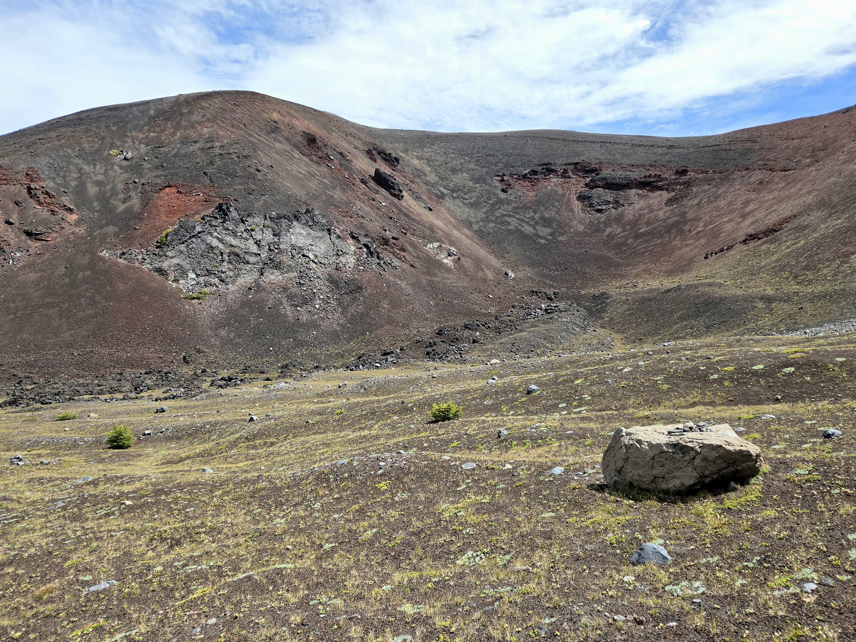
The landscape becomes increasingly volcanic at Collier Cone approaching Collier Glacier.
Finally...Collier Glacier
After miles of changing scenery, North Sister finally dominates the horizon.Below its steep volcanic cliffs sits Collier Glacier, once the largest glacier in Oregon. Although the glacier has retreated dramatically over the last century, viewing the glacial lake is still an unforgettable experience. Snowfields cling to surrounding ridges while freshly melted glacial water fills the basin below and the sound of the running water is unmistakable.
It feels wild. Remote. Almost untouched. Few day hikes in Oregon place you this close to active glaciers without requiring technical climbing.
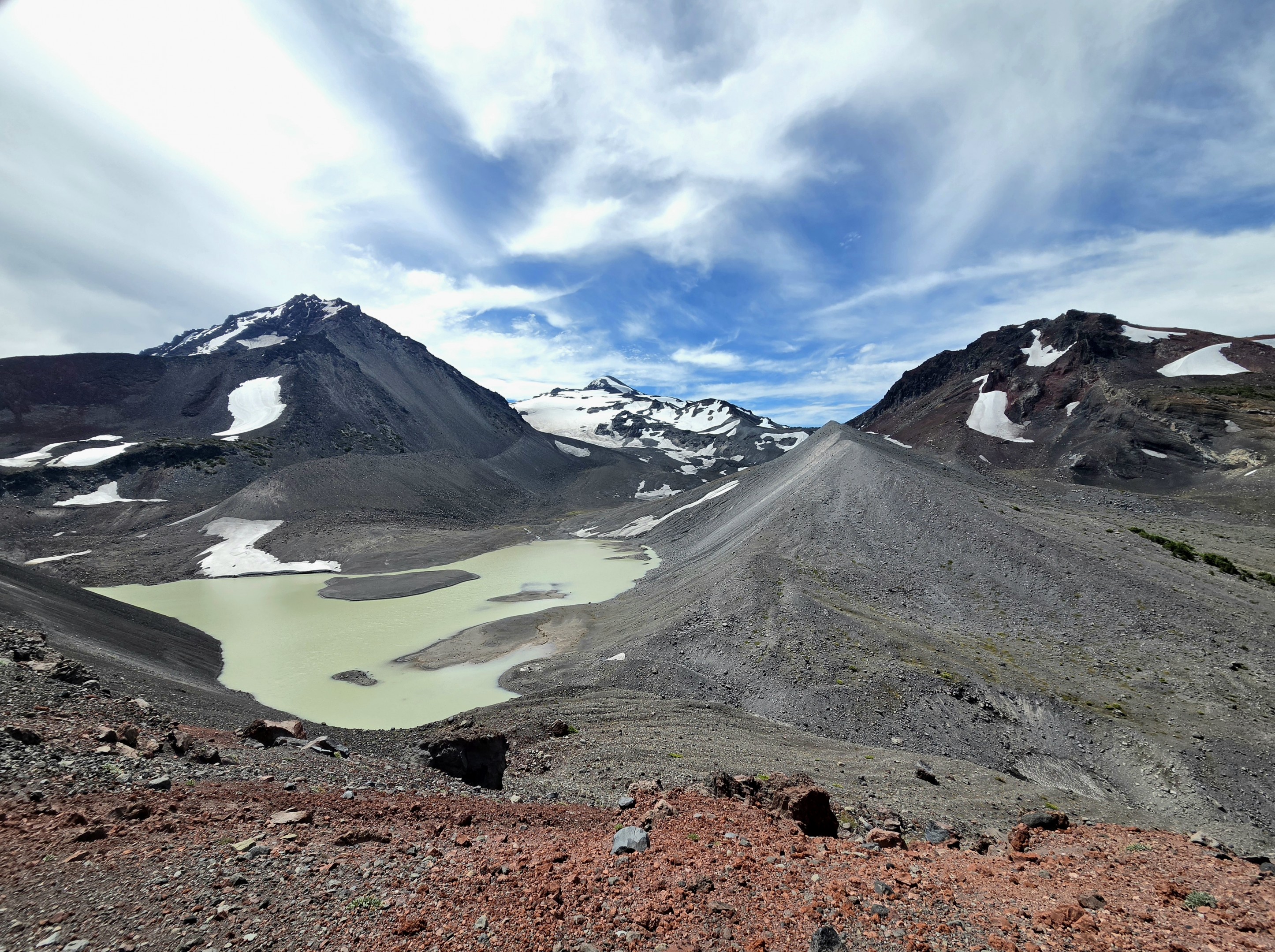
After more than seven miles, Collier Glacier rewards hikers with one of the most dramatic alpine landscapes in Oregon.
The Return Hike
Unlike many hikes where the return feels repetitive, this trail offers an entirely different experience heading back. Afternoon light changes the colors of the volcanic slopes. The Cascade peaks appear from new angles. The forests seem even greener after spending hours above timberline. Every section reveals details that were easy to overlook while hiking toward the glacier.
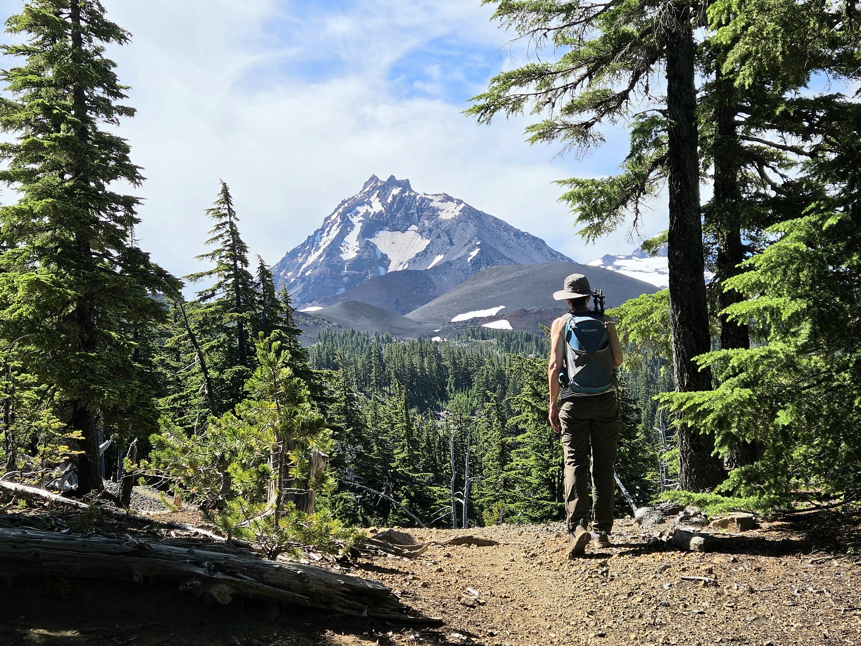
The return hike offers changing light and fresh perspectives of North Sister.
Why This Hike Stands Apart
Central Oregon offers no shortage of spectacular trails. But few combine so many distinct landscapes into a single day. In one hike you'll experience:
- Ancient forests
- Alpine lakes
- Wildflower meadows
- Massive lava flows
- A towering cinder cone
- Expansive Cascade viewpoints
- Glacial terrain
- North Sister up close
Rather than feeling like one destination, this trail unfolds as a series of unforgettable chapters—each one completely different from the last. For hikers looking for one of the most diverse adventures in the Central Cascades, the journey from Lava Camp to Collier Glacier is difficult to beat.
Hiking Stats
| Trail | Lava Camp to Collier Glacier |
| Location | McKenzie Pass Scenic Highway (OR Hwy 242) |
| Distance | 14.63 miles round trip |
| Elevation Gain | 2,236 feet |
| Difficulty | Difficult |
| Trail Type | Out-and-back |
| Season | Mid-July through early October |
| Permits | Central Cascades Wilderness Permit required during quota season |
Privacy Policy / DMCA Notice / ADA Accessibility


