

Subscribe and receive email notifications of new blog posts.
 RSS Feed
27
The Obsidian Trail is Stunning in 2025
The Obsidian Trail is a Favorite Central Oregon Hike
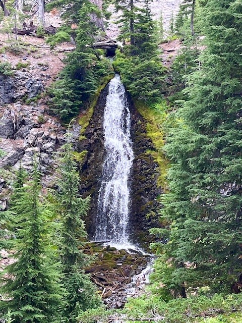
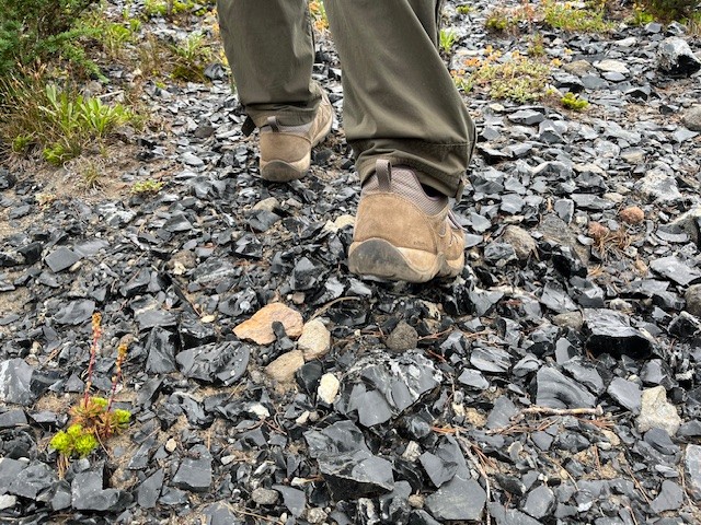
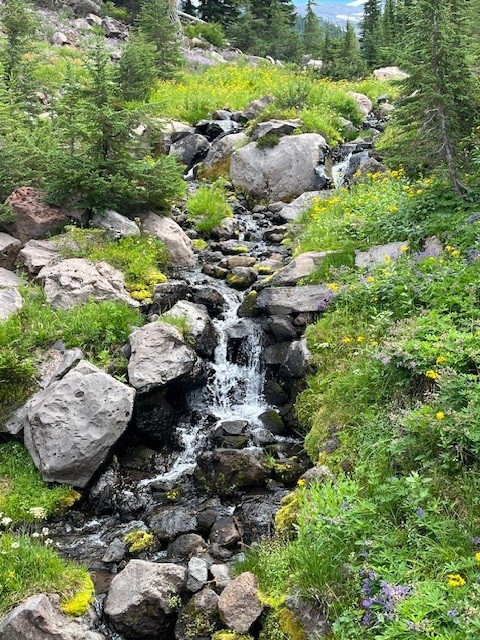
Before the National Forest Service required passes in 2021 for the most popular Central Oregon hikes, the Obsidian Trail had such a huge demand that trail passes were in place for many years earlier. The Obsidian Trail takes hikers from the trailhead off the seasonal McKenzie Pass Highway 242 up to the Pacific Crest Trail and through an area known for the obsidian rock that covers the ground. Before reaching the rock, hikers pass through wooded forest, climb lava flows, travel by Obsidian Falls and then reach the relatively flat land of the obsidian area.
 |
 |
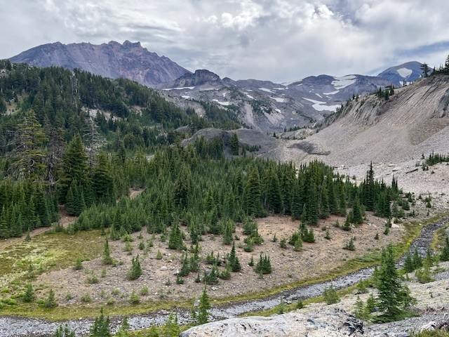
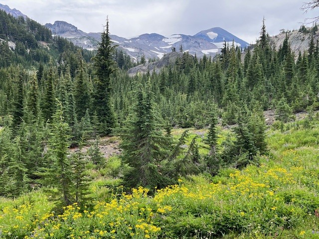
There is a beautiful view point overlooking the climbing trail which some may take to summit Middle Sister. It is a logical place to stop and enjoy a snack or lunch before proceeding on to an area known as Sunshine which was a place many Pacific Crest Trail hikers or those planning to summit Middle Sister early morning would spend the night. Currently that location is undergoing restoration and not available for camping.
 |
 |
All in all, for those who wish to hike the loop from the Obsidian Trailhead, travel to Sunshine and return via Glacier Way (a side path that joins with the Pacific Crest Trail and avoids Obsidian Falls), the entire trek will cover about 11.5 miles and have over 2100 feet of elevation gain.
 |
 |
Privacy Policy / DMCA Notice / ADA Accessibility