

Posts from May 23rd, 2025
Subscribe and receive email notifications of new blog posts.
 RSS Feed
23
The Historic Black Butte Hike Can Be Challenging
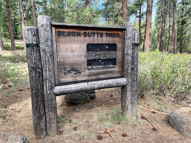
There Are Two Trailheads to Summit Black Butte
Many people will hike to the summit of Black Butte during the summer. It is an iconic volcano located just outside of Sisters next to Black Butte Resort which challenges both visitors and locals. Most people will take the gravel road which transitions into a terrible dirt road to the upper trailhead which is located 1500 feet below the summit. Hikers who start here will find a limited space parking area complete with facilities which require a current forest pass. Those who really want to challenge themselves can start at the base of Black Butte at the historic trail head located near Camp Sherman. The road to this trailhead is mostly paved until the turn off to the parking area so hikers avoid driving over challenging dirt roads before they start their trek. No parking pass but very limited parking available.
 |
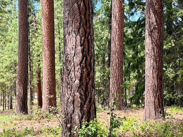 |
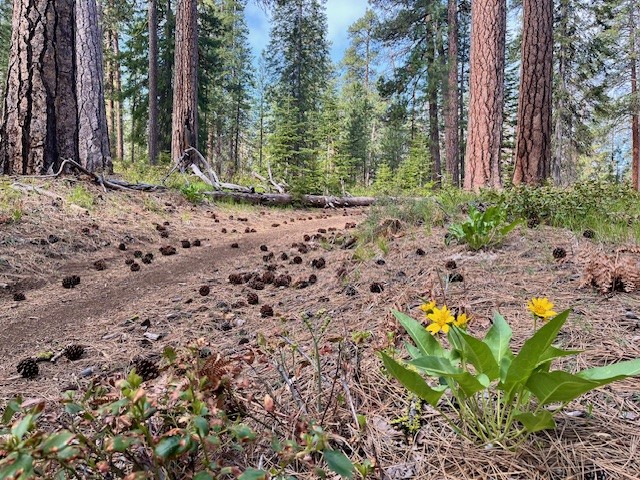
For those hiking the historic route, the trail gradually climbs as hikers pass through the old growth forest located at the base of Black Butte. In May, 2025, early signs of spring were evident with blooming wildflowers. After roughly 3/4 of a mile, the path steepens and hikers start climbing Black Butte. Peek-a-boo views of Black Butte Ranch, Suttle Lake, and the Cascades can be seen through the tall Ponderosa Pines.
 |
 |
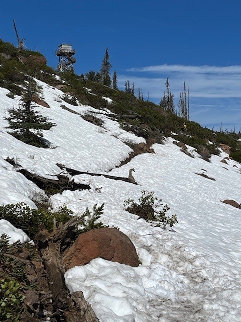
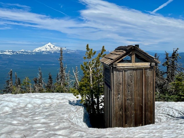
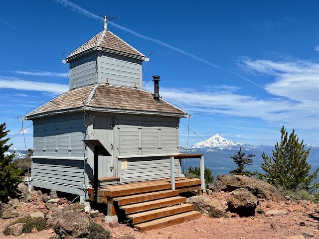
After 3 miles the Historic Black Butte Trail reaches the upper trailhead and the last two mile of the hike is along this route. At the top of Black Butte in the middle of May, 2025, snow patches remained which were easily crossed. The top of the Butte was relatively snow free with all structures still locked and inaccessible to early visitors.
 |
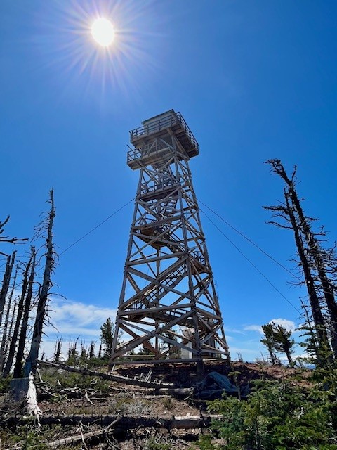 |
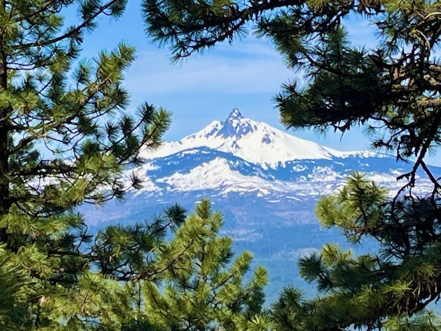
Hikers can enjoy the top of Black Butte with amazing Cascade Views. On a clear day, as many as 13 peaks can be seen from Mt. Bachelor in the south all the way to Mt. Adams in Washington to the north. After spending time at the summit, hikers need to descend back to the trail head in Camp Sherman. All in all, the historic Black Butte Trail is over 10 miles with 3400 feet of elevation gain in the ascending 5 miles.
 |
 |
Privacy Policy / DMCA Notice / ADA Accessibility